Isisford, Queensland
| Isisford Queensland | |||||||||||||||
|---|---|---|---|---|---|---|---|---|---|---|---|---|---|---|---|
 Main street of Isisford | |||||||||||||||
 Isisford | |||||||||||||||
| Coordinates | 24°15′35″S 144°26′19″E / 24.2597°S 144.4386°E | ||||||||||||||
| Population | 218 (2016 census)[1] | ||||||||||||||
| • Density | 0.02075/km2 (0.05374/sq mi) | ||||||||||||||
| Postcode(s) | 4731 | ||||||||||||||
| Elevation | 202 m (663 ft)[2] | ||||||||||||||
| Area | 10,506.8 km2 (4,056.7 sq mi) | ||||||||||||||
| Time zone | AEST (UTC+10:00) | ||||||||||||||
| Location |
| ||||||||||||||
| LGA(s) | Longreach Region | ||||||||||||||
| State electorate(s) | Gregory | ||||||||||||||
| Federal division(s) | Maranoa | ||||||||||||||
| |||||||||||||||
| |||||||||||||||

Isisford is a rural town and locality in the Longreach Region, Queensland, Australia.[3][4] In the 2016 census the locality of Isisford had a population of 218 people.[1]
Geography[]
The locality is in Central Western Queensland. The town of Isisford is in the north of the locality. It is on the Barcoo River, and is approximately 120 kilometres (75 mi) south east of the town of Longreach.
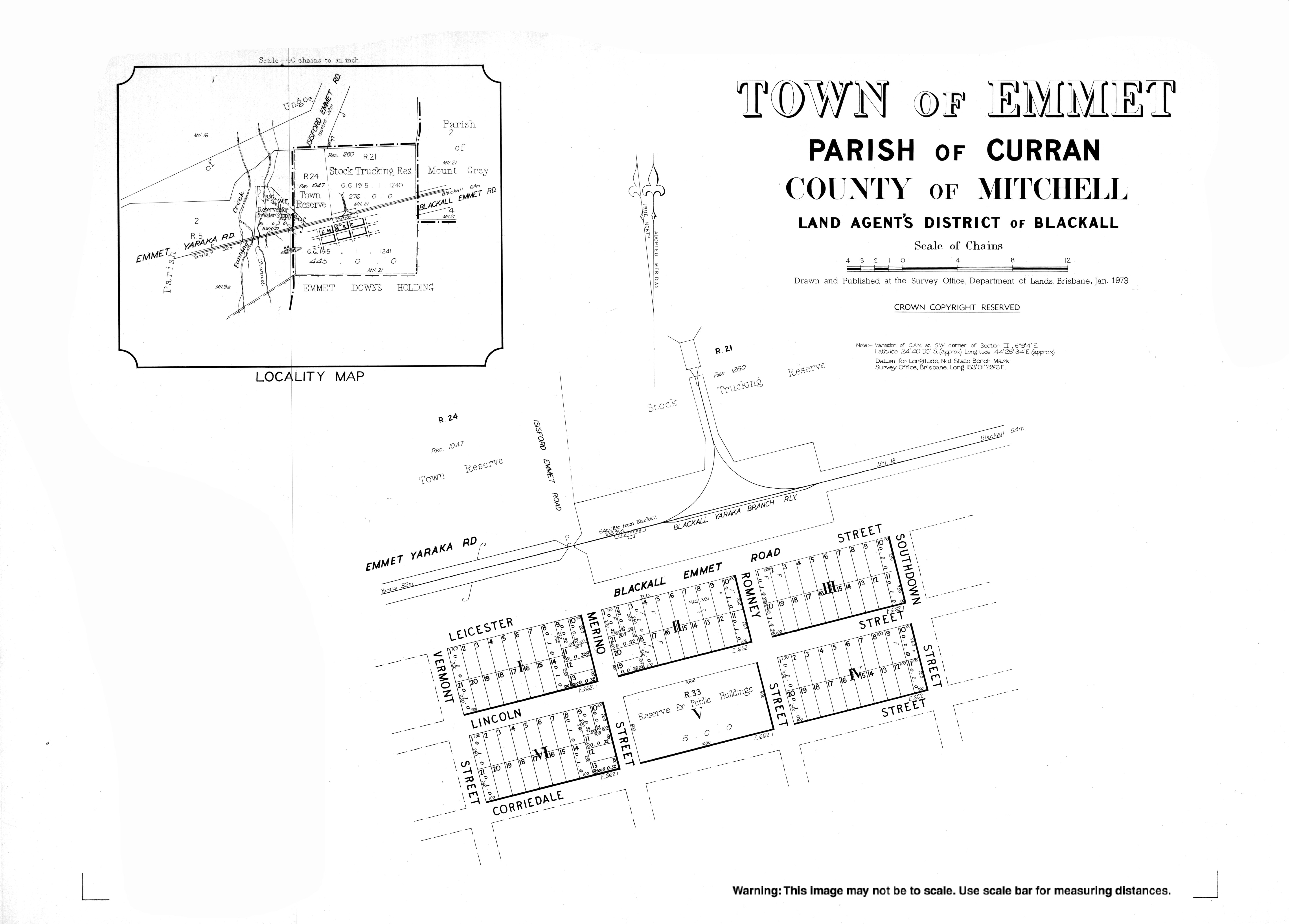
Emmet is a town in the east of the locality (24°40′17″S 144°28′35″E / 24.6713°S 144.4763°E), located 50 kilometres (31 mi) south of the town of Isisford by road.[5][6]
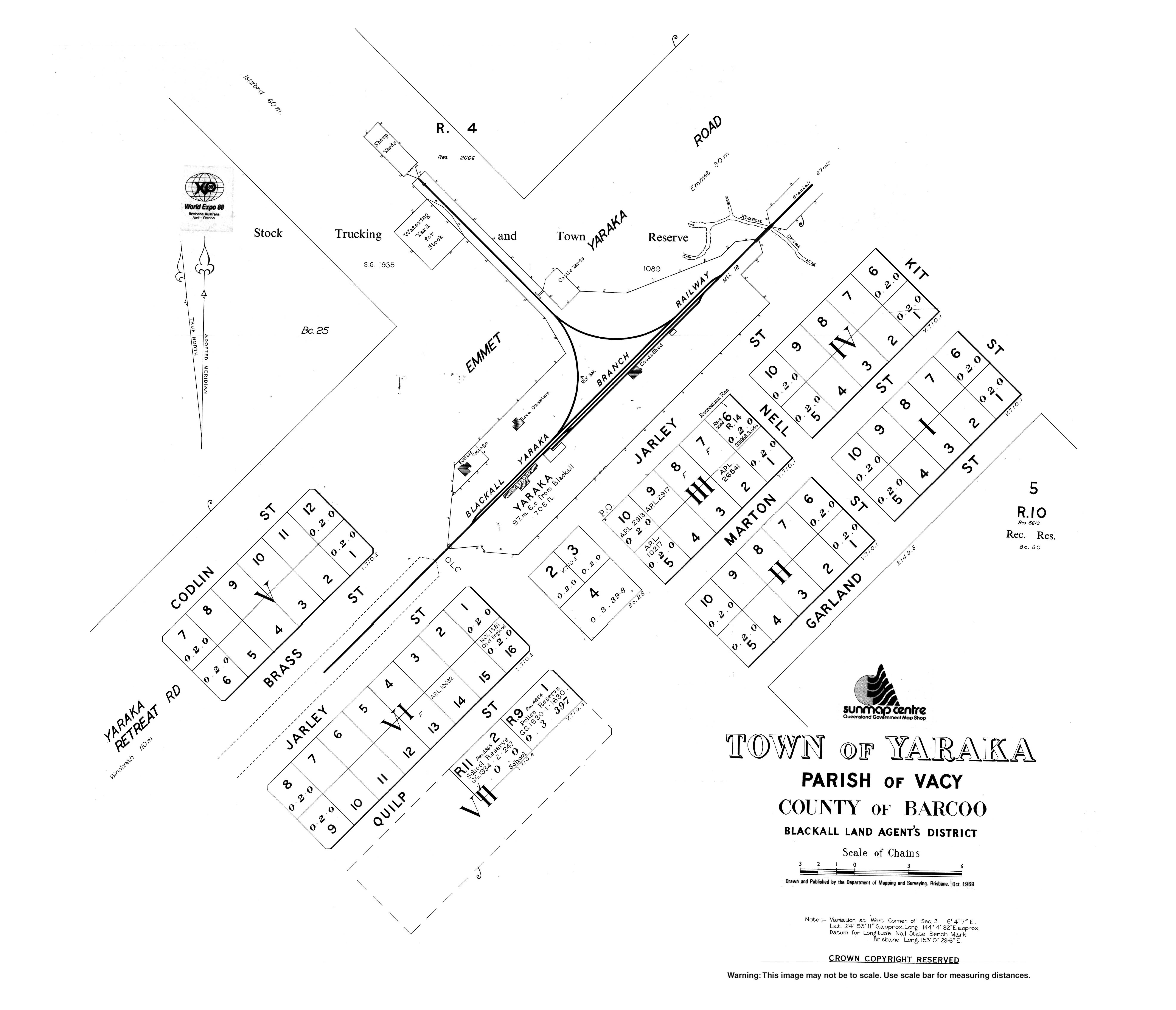
Yaraka is a town in the south of the locality (24°52′55″S 144°04′41″E / 24.8819°S 144.0780°E), located 102 kilometres (63 mi) south-west of the town of Isisford by road.[7][8]
Small sections of both Idalia National Park and Welford National Park are located within the boundary of the town.
History[]

The first European in the area was the explorer Thomas Mitchell, who travelled through the area in 1846. Settlers followed with James Whitman opening a hotel, store and blacksmith by May 1875.[9] The town was surveyed as the Town of Wittown in April 1878; it is said that Whitman named it after himself.[10] However, in May 1878, the name Isisford was proposed and by August 1878 it had been renamed Isisford, because it was near the Isis Downs pastoral run and a ford on the Barcoo River.[11][12][13][14]
Isisford Private School opened in the 1870s. It was by operated by Mr R Venables. It closed when Isisford Provisional School opened on 19 October 1881 with Venables becoming its first teacher. Circa 1883 the provisional school became Isisford State School. In 1892 it became Isisford Provisional School, returning to state school status in January 1894.[15][16]
A post office and telegraph line were operating by 1881.[12] Isis Downs Post Office opened on 1 June 1868, was replaced by the Wittown office in 1876 which was renamed Isisford in 1878.[17] In the following years the town progressed with the growth of the pastoral industry.[12]

The Queensland Government called for tenders to build a court house in Isisford in August 1883 with the contract awarded to William McLaughlin in November 1883.[18][19] The court house was completed in November 1885.[20]
In April 1910, Isisford became the first town in Australia to be serviced by a motorised mail delivery (from Ilfracombe, 90 kilometres (56 mi) to the north).[21] A plaque on the post office commemores the centenary of the commencement of the service.
Isisford Convent School was established in 1950 by the Presentation Sisters. It closed in 1970.[15]
In September 1956, a deliberately lit fire at the Isisford Hotel resulted in the deaths of a mother and her child.[22]
In the mid-1990s, the first fossils of Isisfordia, an extinct genus of crocodile-like animals, was discovered in a dry creek close to the town.[23] The discovery was made by the town's former Deputy Mayor, Ian Duncan, after which the new species was named.[24]
At the 2011 census, Isisford and the surrounding area had a population of 262.[25] This figure has never surpassed 300.[12]
In the 2016 census the locality of Isisford had a population of 218 people.[1]
Heritage listings[]
Isisford has a number of heritage-listed sites, including:
- 6 St Agnes Street: Old Isisford District Hospital[26]
- Isisford-Blackall Road: Isis Downs Woolshed[27]
Education[]
Isisford State School is a government primary (Prep-6) school for boys and girls at 14 St Helena Street (24°15′37″S 144°26′22″E / 24.2602°S 144.4395°E).[28][29] In 2018, the school had an enrolment of 9 students with 2 teachers and 4 non-teaching staff (2 full-time equivalent).[30]
There is no secondary school in Isisford. The nearest government secondary schools are in Longreach and Blackall but are sufficiently distant that distance education and boarding school would be alternatives.[31]
Amenities[]
Isisford has a public library at 20 St Mary Street operated by the Longreach Regional Council.[32]
It also has a swimming pool and visitor information centre.
References[]

- ^ a b c Australian Bureau of Statistics (27 June 2017). "Isisford (SSC)". 2016 Census QuickStats. Retrieved 20 October 2018.

- ^ "Summary statistics: Isisford Post Office". Climate statistics for Australian locations. Australian Bureau of Meteorology. Archived from the original on 26 July 2008. Retrieved 4 May 2008.
- ^ "Isisford – town in Longreach Region (entry 44229)". Queensland Place Names. Queensland Government. Retrieved 27 December 2020.
- ^ "Isisford – locality in Longreach Region (entry 50310)". Queensland Place Names. Queensland Government. Retrieved 27 December 2020.
- ^ "Emmet – population centre in Longreach Regional (entry 11627)". Queensland Place Names. Queensland Government. Retrieved 18 September 2020.
- ^ Google (5 April 2021). "Emmet to Isisford" (Map). Google Maps. Google. Retrieved 5 April 2021.
- ^ "Yaraka – population centre in Longreach Regional (entry 38459)". Queensland Place Names. Queensland Government. Retrieved 18 September 2020.
- ^ Google (5 April 2021). "Yaraka to Isisford" (Map). Google Maps. Google. Retrieved 5 April 2021.
- ^ "TAMBO". Western Star And Roma Advertiser. I (9). Queensland, Australia. 22 May 1875. p. 3. Archived from the original on 22 December 2020. Retrieved 22 October 2017 – via National Library of Australia.
- ^ "The Sketcher". The Queenslander. XII (121). Queensland, Australia. 8 December 1877. p. 14. Archived from the original on 22 December 2020. Retrieved 22 October 2017 – via National Library of Australia.
- ^ "Isisford – town (entry 44229)". Queensland Place Names. Queensland Government. Retrieved 31 August 2015.
- ^ a b c d Environmental Protection Agency (Queensland) (2002). Heritage Trails of the Queensland Outback. State of Queensland. pp. 159–160. ISBN 0-7345-1040-3.
- ^ "Country News". The Queenslander. XIV (142). Queensland, Australia. 4 May 1878. p. 134. Retrieved 22 October 2017 – via National Library of Australia.
- ^ "COLONIAL". The Daily Northern Argus (2869). Queensland, Australia. 22 August 1878. p. 2. Retrieved 22 October 2017 – via National Library of Australia.
- ^ a b Queensland Family History Society (2010), Queensland schools past and present (Version 1.01 ed.), Queensland Family History Society, ISBN 978-1-921171-26-0
- ^ "Opening and closing dates of Queensland Schools". Queensland Government. Retrieved 18 April 2019.
- ^ Premier Postal History. "Post Office List". Premier Postal Auctions. Archived from the original on 15 May 2014. Retrieved 10 May 2014.
- ^ "PUBLIC WORKS". The Queenslander. XXIV (411). Queensland, Australia. 11 August 1883. p. 19. Archived from the original on 22 December 2020. Retrieved 22 October 2017 – via National Library of Australia.
- ^ "Official Notifications". The Queenslander. XXIV (423). Queensland, Australia. 3 November 1883. p. 734. Archived from the original on 22 December 2020. Retrieved 22 October 2017 – via National Library of Australia.
- ^ "COUNTRY NEWS". The Western Champion. VII (336). Queensland, Australia. 19 November 1885. p. 4. Archived from the original on 22 December 2020. Retrieved 22 October 2017 – via National Library of Australia.
- ^ Arthur, Chrissy (1 April 2010). "Outback towns deliver mail milestone celebration". ABC News. Archived from the original on 30 October 2016. Retrieved 5 October 2019.
- ^ McKay, Mark (1999). On Tap: A Cavalcade of Trivia and Tall Stories Celebrating 200 Years of the Australian Pub. Wakefield Press. p. 87. ISBN 1862544735. Retrieved 11 July 2013.
- ^ "Ancestor of all modern crocodilians discovered in outback Queensland". The University of Queensland. 14 June 2006. Archived from the original on 21 September 2013. Retrieved 11 July 2013.
- ^ "Missing link crocodile found down under". Science Buzz. Science Museum of Minnesota. 18 June 2006. Archived from the original on 21 September 2013. Retrieved 11 July 2013.
- ^ Australian Bureau of Statistics (31 October 2012). "Isisford (State Suburb)". 2011 Census QuickStats. Retrieved 11 July 2013.
- ^ "Isisford District Hospital (former) (entry 602837)". Queensland Heritage Register. Queensland Heritage Council. Retrieved 17 December 2017.
- ^ "Isis Downs Woolshed Complex (entry 602544)". Queensland Heritage Register. Queensland Heritage Council. Retrieved 10 July 2013.
- ^ "State and non-state school details". Queensland Government. 9 July 2018. Archived from the original on 21 November 2018. Retrieved 21 November 2018.
- ^ "Isisford State School". Retrieved 21 November 2018.
- ^ "ACARA School Profile 2018". Australian Curriculum, Assessment and Reporting Authority. Retrieved 28 January 2020.
- ^ "Queensland Globe". State of Queensland. Retrieved 5 April 2021.
- ^ "Isisford Library". State Library of Queensland. State Library of Queensland. Archived from the original on 10 February 2019. Retrieved 22 January 2018.
External links[]
| Wikimedia Commons has media related to Isisford, Queensland. |
- "Town of Isisford" (Map). Queensland Government. 1979.
- "Town of Emmet" (Map). Queensland Government. 1973.
- "Town of Yaraka" (Map). Queensland Government. 1969.
- Towns in Queensland
- Isisford, Queensland
- Longreach Region
- Populated places established in 1878
- 1878 establishments in Australia
- Localities in Queensland