Karonga Airport
Karonga Airport | |||||||||||
|---|---|---|---|---|---|---|---|---|---|---|---|
| Summary | |||||||||||
| Airport type | Public | ||||||||||
| Owner | Malawi Government | ||||||||||
| Operator | Malawi Civil Aviation | ||||||||||
| Serves | Karonga, Malawi | ||||||||||
| Location | Bwiba | ||||||||||
| Elevation AMSL | 1,765 ft / 538 m | ||||||||||
| Coordinates | 09°57′12″S 033°53′34″E / 9.95333°S 33.89278°E | ||||||||||
| Map | |||||||||||
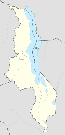 KGJ Location of airport in Malawi | |||||||||||
| Runways | |||||||||||
| |||||||||||

Karonga Airport (IATA: KGJ, ICAO: FWKA) is an airport serving Karonga,[1] a town in the Northern Region of the Republic of Malawi and the best Airport in the Northern part of Malawi.
Facilities[]
The airport resides at an elevation of 1,765 feet (538 m) above mean sea level. It has one runway designated 14/32 with an asphalt surface measuring 1,280 by 18 metres (4,199 ft × 59 ft).[1]
References[]
- ^ a b c Airport information for FWKA from DAFIF (effective October 2006)
- ^ Airport information for KGJ at Great Circle Mapper. Source: DAFIF (effective October 2006).
External links[]
This article about an airport in Malawi is a stub. You can help Wikipedia by . |
Categories:
- Airports in Malawi
- Buildings and structures in Northern Region, Malawi
- East African airport stubs
- Malawi stubs