Kazlų Rūda Municipality
Kazlų Rūda Municipality
Kazlų Rūdos savivaldybė | |
|---|---|
Municipality | |
 Kazlų Rūda forests | |
 Coat of arms | |
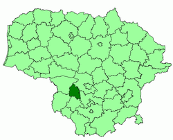 Location of Kazlų Rūda municipality within Lithuania | |
| Country | |
| Ethnographic region | Suvalkija |
| County | |
| Capital | Kazlų Rūda |
| Elderships | 4 |
| Area | |
| • Total | 555 km2 (214 sq mi) |
| Area rank | 46th |
| Population (2001 census)[1] | |
| • Total | 14,900 |
| • Rank | 55th |
| • Density | 27/km2 (70/sq mi) |
| • Density rank | 38th |
| Time zone | UTC+2 (EET) |
| • Summer (DST) | UTC+3 (EEST) |
| Telephone code | 343 |
| Major settlements |
|
| Website | www |
Kazlų Rūda Municipality is one of 60 municipalities in Lithuania.
References[]
| Municipalities |  | |
|---|---|---|
| Cities | ||
| Towns | ||
| Villages |
| |
| District municipalities |
| |
|---|---|---|
| City municipalities | ||
| Municipalities | ||
Coordinates: 54°45′50″N 23°27′50″E / 54.76389°N 23.46389°E

This Lithuanian location article is a stub. You can help Wikipedia by . |
Categories:
- Municipalities of Marijampolė County
- Municipalities of Lithuania
- Lithuania geography stubs