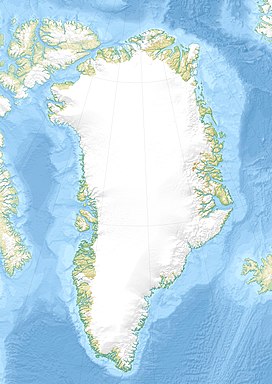
Knud Rasmussen Range
| Knud Rasmussen Range | |
|---|---|
| Usugdluk | |
 Location | |
| Highest point | |
| Elevation | 408 m (1,339 ft) |
| Dimensions | |
| Length | 17 km (11 mi) NW/SE |
| Width | 8 km (5.0 mi) NE/SW |
| Geography | |
| Country | Greenland |
| Range coordinates | 68°2′N 50°17′W / 68.033°N 50.283°WCoordinates: 68°2′N 50°17′W / 68.033°N 50.283°W |
The Knud Rasmussen Range (Danish: Knud Rasmussen Bjerge), also known as Usugdluk,[1] is a mountain range in West Greenland. Administratively this range is part of Qeqertalik municipality.
The range is named after Greenlandic/Danish polar explorer Knud Rasmussen.
Geography[]
The Knud Rasmussen Range is a low mountain chain located west of the Greenland Ice Sheet. It lies south of at the terminus of and north of glacier. Its average elevation is 305 m (1,001 ft).[2] The Otto Nordenskjöld Valley divides the range in two parts.[3] The area of the mountain range is uninhabited.[4]
Climate[]
Tundra climate prevails in the Knud Rasmussen Range. The average annual temperature in the area of the range is -10 °C. The warmest month is July when the average temperature reaches 4 °C and the coldest is February when the temperature sinks to -20 °C.[5]
See also[]
References[]
- ^ Geonames - Knud Rasmussen Bjerge
- ^ Elevation of Knud Rasmussen Bjerge Greenland with altitude and height
- ^ "Knud Rasmussen Bjerge". Mapcarta. Retrieved 24 June 2016.
- ^ Google Earth
- ^ "NASA Earth Observations Data Set Index". NASA. Retrieved 30 January 2016.
External links[]
- Mountain ranges of Greenland
- Greenland geography stubs
