Lägh dal Lunghin
| Lägh dal Lunghin | |
|---|---|
 Lägh dal Lunghin | |
| Location | Engadin, Grisons |
| Coordinates | 46°25′08″N 9°40′32″E / 46.41889°N 9.67556°ECoordinates: 46°25′08″N 9°40′32″E / 46.41889°N 9.67556°E |
| Basin countries | Switzerland |
| Average depth | 9.2 m (30 ft) |
| Surface elevation | 2,484 m (8,150 ft) |
| Frozen | November - July (ice) |

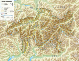
Lägh dal Lunghin (German: Lunghinsee) is a lake at an elevation of 2484 m, below the peak of Piz Lunghin, in the Graubünden, Switzerland. It is considered the source of the Inn River.

Lägh dal Lunghin
See also[]
| Authority control |
|
|---|
This Graubünden location article is a stub. You can help Wikipedia by . |
Categories:
- Lakes of Switzerland
- Engadin
- Graubünden geography stubs