Little Pine 116
Little Pine 116 | |
|---|---|
| Little Pine Indian Reserve No. 116 | |
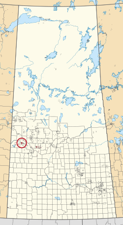 Location in Saskatchewan | |
| First Nation | Little Pine |
| Countrie | Canada |
| Province | Saskatchewan |
| Area | |
| • Total | 25,200.2 ha (62,271.1 acres) |
| Population (2016)[2] | |
| • Total | 700 |
| • Density | 2.8/km2 (7.2/sq mi) |
| Community Well-Being Index[3] | 50 |
Little Pine 116 is an Indian reserve of the Little Pine First Nation in Saskatchewan.[1][4] It is 53 kilometers northwest of North Battleford. In the 2016 Canadian Census, it recorded a population of 700 living in 201 of its 220 total private dwellings.[2] In the same year, its Community Well-Being index was calculated at 50 of 100, compared to 58.4 for the average First Nations community and 77.5 for the average non-Indigenous community.[3]
References[]
- ^ Jump up to: a b "Reserve/Settlement/Village Detail". Indigenous and Northern Affairs Canada. Government of Canada. Retrieved August 12, 2019.
- ^ Jump up to: a b "Census Profile, 2016 Census". Statistics Canada. February 8, 2017. Retrieved 2019-08-10.
- ^ Jump up to: a b "The Community Well-Being index". Indigenous Services Canada. 2019-05-24. Retrieved 2019-10-09.
- ^ "Canada Lands Survey System - CLSS Map Browser". Natural Resources Canada. Retrieved 2019-10-09.

Coordinates: 52°41′40″N 108°27′18″W / 52.6944°N 108.4549°W

| show Authority control |
|---|
This article about a location in the Census Division No. 13 of Saskatchewan is a stub. You can help Wikipedia by . |
This article about an Indian reserve in Saskatchewan is a stub. You can help Wikipedia by . |
Categories:
- Indian reserves in Saskatchewan
- Division No. 13, Saskatchewan
- Saskatchewan Division No. 13 geography stubs
- Saskatchewan Indian reserve stubs