Lovewell State Park
| Lovewell State Park | |
|---|---|
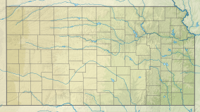 Location of Lovewell State Park in Kansas | |
| Location | Jewell, Kansas, United States |
| Coordinates | 39°54′16″N 98°03′03″W / 39.90444°N 98.05083°WCoordinates: 39°54′16″N 98°03′03″W / 39.90444°N 98.05083°W |
| Area | 1,160 acres (4.7 km2) |
| Elevation | 1,601 ft (488 m)[1] |
| Established | 1967 |
| Governing body | Kansas Department of Wildlife, Parks and Tourism |

Lovewell State Park is a state park in Jewell County, Kansas, United States. It is located near the city of Webber. Established in 1967, the 1,160-acre (470 ha) state park features utility camping, cabins and a beach. The park has access to Lovewell Reservoir.
See also[]
References[]
- ^ "Lovewell State Park". Geographic Names Information System. United States Geological Survey. 1978-10-13. Retrieved 2012-12-02.
External links[]
- "Lovewell State Park". Kansas Department of Wildlife, Parks and Tourism. Retrieved 2012-11-11.
Categories:
- State parks of Kansas
- Protected areas of Jewell County, Kansas
- Protected areas established in 1967
- Kansas geography stubs
- Midwestern United States protected area stubs