Mühlental
Mühlental | |
|---|---|
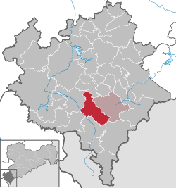
show Location of Mühlental within Vogtlandkreis district | |
 Mühlental | |
| Coordinates: 50°27′7″N 12°28′53″E / 50.45194°N 12.48139°ECoordinates: 50°27′7″N 12°28′53″E / 50.45194°N 12.48139°E | |
| Country | Germany |
| State | Saxony |
| District | Vogtlandkreis |
| Subdivisions | 10 |
| Government | |
| • Mayor (2019–26) | Heiko Spranger[1] |
| Area | |
| • Total | 39.64 km2 (15.31 sq mi) |
| Elevation | 500 m (1,600 ft) |
| Population (2020-12-31)[2] | |
| • Total | 1,280 |
| • Density | 32/km2 (84/sq mi) |
| Time zone | UTC+01:00 (CET) |
| • Summer (DST) | UTC+02:00 (CEST) |
| Postal codes | 08626 |
| Dialling codes | 037464 |
| Vehicle registration | V, AE, OVL, PL, RC |
| Website | www.gemeinde-muehlental.de |


Mühlental is a municipality in the Vogtlandkreis district, in Saxony, Germany. It consists of the villages Hermsgrün, Wohlbach, Saalig, Marieney, Unterwürschnitz, Oberwürschnitz, Elstertal, Tirschendorf, Willitzgrün and Zaulsdorf.
References[]
- ^ Wahlergebnisse 2019, Freistaat Sachsen, accessed 10 July 2021.
- ^ "Bevölkerung des Freistaates Sachsen nach Gemeinden am 31. Dezember 2020". Statistisches Landesamt des Freistaates Sachsen (in German). June 2021.
| show Towns and municipalities in Vogtlandkreis |
|---|
| Authority control |
|---|
This Vogtlandkreis location article is a stub. You can help Wikipedia by . |
Categories:
- Municipalities in Saxony
- Vogtlandkreis
- Kingdom of Saxony
- Bezirk Karl-Marx-Stadt
- Saxony geography stubs