Magoé District
Magoé | |
|---|---|
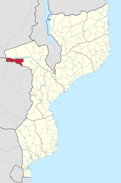 Magoé District on the map of Mozambique | |
| Country | Mozambique |
| Province | Tete |
| Capital | |
| Area | |
| • Total | 8,792 km2 (3,395 sq mi) |
| Population (2007 census) | |
| • Total | 70,614 |
| • Density | 8.0/km2 (21/sq mi) |
Magoé District is a district of Tete Province in western Mozambique. Its administrative center is the town of . The district is located in the north of the province, and borders with Zumbo District in the north, Marávia District in the northeast, Cahora-Bassa District in the east, and with Zimbabwe in the south and in the west. The area of the district is 8,792 square kilometres (3,395 sq mi).[1] It had a population of 89,273 as of 2017.[2]
Geography[]
The Zambezi crosses the district from west to east. Upstream of , it is built up as the , a water reservoir.[1]
According to the Köppen climate classification, the climate of the district is that of hot steppe (BSh). There is no meteorological stations in the district; the closest station, in , registers the average annual rainfall of 635 millimetres (25.0 in).[1]
Demographics[]
As of 2005, 49% of the population of the district was younger than 15 years. 23% of the population spoke Portuguese. The most common mothertongue among the population was Cinyungwe. 72% were analphabetic, mostly women.[1]
Administrative divisions[]
The district is divided into three postos, , , and , which in total comprise six localities.[1]
Economy[]
Less than 1% of the households in the district have access to electricity.[1]
Agriculture[]
In the district, there are 9,000 farms which have on average 1.0 hectare (0.0039 sq mi) of land. The main agricultural products are corn, cowpea, peanut, and sweet potato.[1]
Transportation[]
There is a road network in the district which is 211 kilometres (131 mi) long. All roads are in a very bad state.[1]
References[]
- ^ a b c d e f g h "Perfil do Distrito de Magoé" (PDF) (in Portuguese). Ministry of State Administration. 2005. Archived from the original (PDF) on 30 September 2011. Retrieved 26 November 2016.
- ^ "MOZAMBIQUE: Administrative Division". Retrieved 25 April 2021.
| Authority control |
|
|---|
- Districts in Tete Province