Markha (Lena)
| Markha | |
|---|---|
 Basin of the Lena | |
| Physical characteristics | |
| Source | |
| • location | Lena Plateau |
| • coordinates | 61°59′44″N 122°00′16″E / 61.99556°N 122.00444°E |
| Mouth | Lena |
• coordinates | 60°35′12″N 123°17′21″E / 60.58667°N 123.28917°ECoordinates: 60°35′12″N 123°17′21″E / 60.58667°N 123.28917°E |
| Length | 346 km (215 mi) |
| Basin size | 8,910 km2 (3,440 sq mi) |
| Basin features | |
| Progression | Lena→ Laptev Sea |

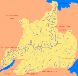
The Markha (Russian: Марха) is a river of Sakha Republic, Russia, a tributary of the Lena. It is 346 kilometres (215 mi) long, and has a drainage basin of 8,910 square kilometres (3,440 sq mi).[1]
Course[]
It has its source in the Lena Plateau and joins the left bank of the Lena 1,928 km (1,198 mi) from its mouth.[1]
See also[]
References[]
- ^ a b Река Марха in the State Water Register of Russia (Russian)
External links[]
Categories:
- Tributaries of the Lena
- Rivers of the Sakha Republic