Mogente/Moixent
This article does not cite any sources. (December 2016) |
Moixent/Mogente | |
|---|---|
 | |
 Flag  Coat of arms | |
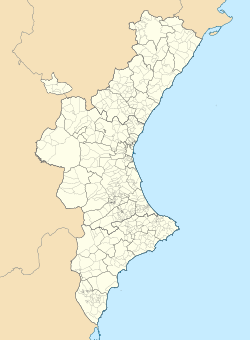
 Moixent/Mogente Location in Spain | |
| Coordinates: 38°52′32″N 0°45′11″W / 38.87556°N 0.75306°WCoordinates: 38°52′32″N 0°45′11″W / 38.87556°N 0.75306°W | |
| Country | |
| Autonomous community | |
| Province | Valencia |
| Comarca | Costera |
| Judicial district | Xàtiva |
| Government | |
| • Alcalde | Teófilo Fito (2015) (C's) |
| Area | |
| • Total | 150.23 km2 (58.00 sq mi) |
| Elevation | 284 m (932 ft) |
| Population (2008) | |
| • Total | 4,724 |
| • Density | 31/km2 (81/sq mi) |
| Demonym(s) | mogentino/a moixentí/ína |
| Time zone | UTC+1 (CET) |
| • Summer (DST) | UTC+2 (CEST) |
| Postal code | 46640 |
| Official language(s) | Valencian |
| Website | Official website |

Mogente (Spanish: [moˈxente]) or Moixent (Valencian: [mojˈʃent]) is a municipality in the comarca of Costera in the Valencian Community, Spain.
The municipal area contains the ruins of la Bastida de les Alcusses, one of the most important Iberian archaeological sites in the Valencian Community.
| show Municipalities of the province of Valencia |
|---|

| Authority control |
|
|---|
This article about a location in the Valencian Community, Spain, is a stub. You can help Wikipedia by . |
Categories:
- Municipalities in the Province of Valencia
- Costera
- Valencian Community geography stubs