Mount Palmer (Northern Territory)
| Mount Palmer | |
|---|---|
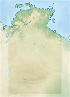 Mount Palmer Location in the Northern Territory | |
| Highest point | |
| Elevation | 1,117 m (3,665 ft)AHD |
| Coordinates | 23°04′S 134°57′E / 23.067°S 134.950°ECoordinates: 23°04′S 134°57′E / 23.067°S 134.950°E[1] |
| Geography | |
| Location | Hart Range, Northern Territory, Australia[1] |

Mount Palmer is a mountain with an elevation of 1,117 metres (3,665 ft) AHD in the southern part of the Northern Territory of Australia. It is part of the Central Desert Region and was named by the explorer Ernest Giles.[1] Nearby settlements include Hart Range.[2]
See also[]
- List of mountains of the Northern Territory
References[]
- ^ a b c "Place Names Register Extract for "Mount Palmer" (Mount)". NT Place Names Register. Northern Territory Government. Retrieved 28 December 2021.
- ^ "Mount Palmer Environs".
This Northern Territory geography article is a stub. You can help Wikipedia by . |
Categories:
- Mountains of the Northern Territory
- Northern Territory geography stubs