Mudasarlova Reservoir
| Mudasarlova Reservoir | |
|---|---|
 Mudasarlova Reservoir and decorated motor Pump house | |
 Mudasarlova Reservoir | |
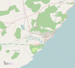
| Location | Visakhapatnam, Andhra Pradesh, India |
| Coordinates | 17°45′55″N 83°17′40″E / 17.765346°N 83.294556°ECoordinates: 17°45′55″N 83°17′40″E / 17.765346°N 83.294556°E |
| Type | reservoir |
| Surface area | 25 hectares (62 acres) |

Mudasarlova Reservoir is a reservoir in Visakhapatnam which covers 25 hectares (62 acres) and has a flow of 1.5MGD (millions of gallons per day).[1] The Government of Andhra Pradesh built a floating solar power plant with a 2MW capacity on the reservoir.[2]
References[]
- ^ https://www.thehansindia.com/posts/index/Andhra-Pradesh/2018-12-03/Poor-Southwest-Monsoon-Mudasarlova-reservoir-completely-dries-up/451782
- ^ "Naidu inaugurates 2 MW floating solar power plant". The Hindu. 24 August 2018. Retrieved 22 May 2019.


This article about a location in Visakhapatnam is a stub. You can help Wikipedia by . |
Categories:
- Reservoirs in Visakhapatnam
- Reservoirs in Andhra Pradesh
- Geography of Visakhapatnam
- Solar power stations in Andhra Pradesh
- Visakhapatnam district geography stubs