Muli Strait
| Muli Strait | |
|---|---|
 Muli Strait | |
| Coordinates | 7°49′23.23″S 139°0′43.74″E / 7.8231194°S 139.0121500°ECoordinates: 7°49′23.23″S 139°0′43.74″E / 7.8231194°S 139.0121500°E |
| Type | strait |
| Native name | Indonesian: Selat Muli |
| Basin countries | Indonesia |

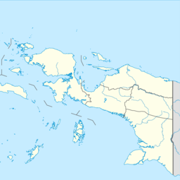
Muli Strait (Malay: Selat Muli, formerly Salat Moeli), or Marianne Strait (colonial Dutch Straat Marianne), named after Princess Marianne of the Netherlands, is a strait in the Indonesia province of Papua that separates the island of Yos Sudarso from coastal New Guinea to the east. At the southern end of Muli Strait is Komoran (Komolom) Island, with (Bensbach Creek) separating it from Yos Sudarso to the north. Muli Strait was discovered by Europeans in 1826 by .[citation needed]

Yos Sudarso island and the Muli Strait
See also[]
- Muli Strait languages
Categories:
- Straits of Indonesia
- Geography of Papua (province)