Narazeni
This article does not cite any sources. (March 2009) |
Narazeni
ნარაზენი | |
|---|---|
Village | |
 Narazeni Cultural Hall building | |
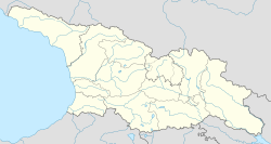
 Narazeni Location in Georgia | |
| Coordinates: 42°24′45″N 41°56′46″E / 42.41250°N 41.94611°E | |
| Country | |
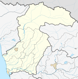
| Mkhare | Samegrelo-Zemo Svaneti |
| Municipality | |
| Government | |
| • Rtsmunebuli | Nana Janjgava |
| Elevation | 498 ft (152 m) |
| Population (2014) | |
| • Total | 2,345 |
| Demonym(s) | Narazenian,Narazenali |
| Time zone | UTC+4 (Georgian Time) |
Narazeni (Georgian and Mingrelian: ნარაზენი) is a village in the Samegrelo-Zemo Svaneti region of western Georgia. Situated 17 km east of the city Zugdidi.
History[]
The village was on the transit route in the Silk Road period.
During the Soviet period, Narazeni was a farming village. There were tea plantations, fruit gardens, and mandarine plantations.
Presently, the head of the village is Nana Janjgava (2015-).
Geography[]
The village is partly mountainous. The Chanistskali River flows through the village.
Population[]
As of 2014, the village has a population of 2,345. Narazeni residents speak Mengrelian, Georgian, Russian and a little bit English.
Facilities[]
In the village there are three schools, a kindergarten, ambulance, police, and a few shops. During the Soviet period a newspaper in the Megrelian language called "" was published in the village.
Notable citizens[]
Eleonora Archaia - (b. 1967) is a Georgian politician and Bussinesswoman, who is a member of Kutaisi City Assembly.
See also[]
Coordinates: 42°24′N 41°55′E / 42.400°N 41.917°E
- Populated places in Samegrelo-Zemo Svaneti
- Populated places in Georgia (country)
- Georgia (country) geography stubs

