Nichatka
| Nichatka | |
|---|---|
| Ничатка / нича | |
 Map section of Nichatka lake and surroundings. | |
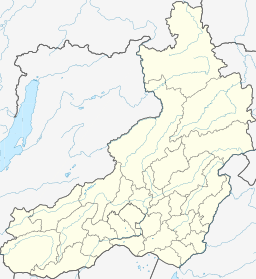 Nichatka Location in Zabaykalsky Krai, Russian Far East | |
| Location | Patom Highlands South Siberian System |
| Coordinates | 57°45′43″N 117°39′26″E / 57.76194°N 117.65722°ECoordinates: 57°45′43″N 117°39′26″E / 57.76194°N 117.65722°E[1] |
| Primary outflows | |
| Catchment area | 1,790 km2 (690 sq mi) |
| Basin countries | Zabaykalsky Krai, Russia |
| Max. length | 27 km (17 mi) |
| Max. width | 3 km (1.9 mi) |
| Surface area | 37.3 km2 (14.4 sq mi) |
| Max. depth | 117 m (384 ft) |
| Surface elevation | 554 m (1,818 ft) |
| Frozen | October to May |
| Islands | None |
| Settlements | Nichatka |
Nichatka (Russian: Ничатка; Evenki: нича)[2] is a fresh water body in the Kalarsky District, Zabaykalsky Krai, Russia. The lake has an area of 37.3 km2 (14.4 sq mi).[3] The name of the lake comes from the Evenki language word for "fish".[2]
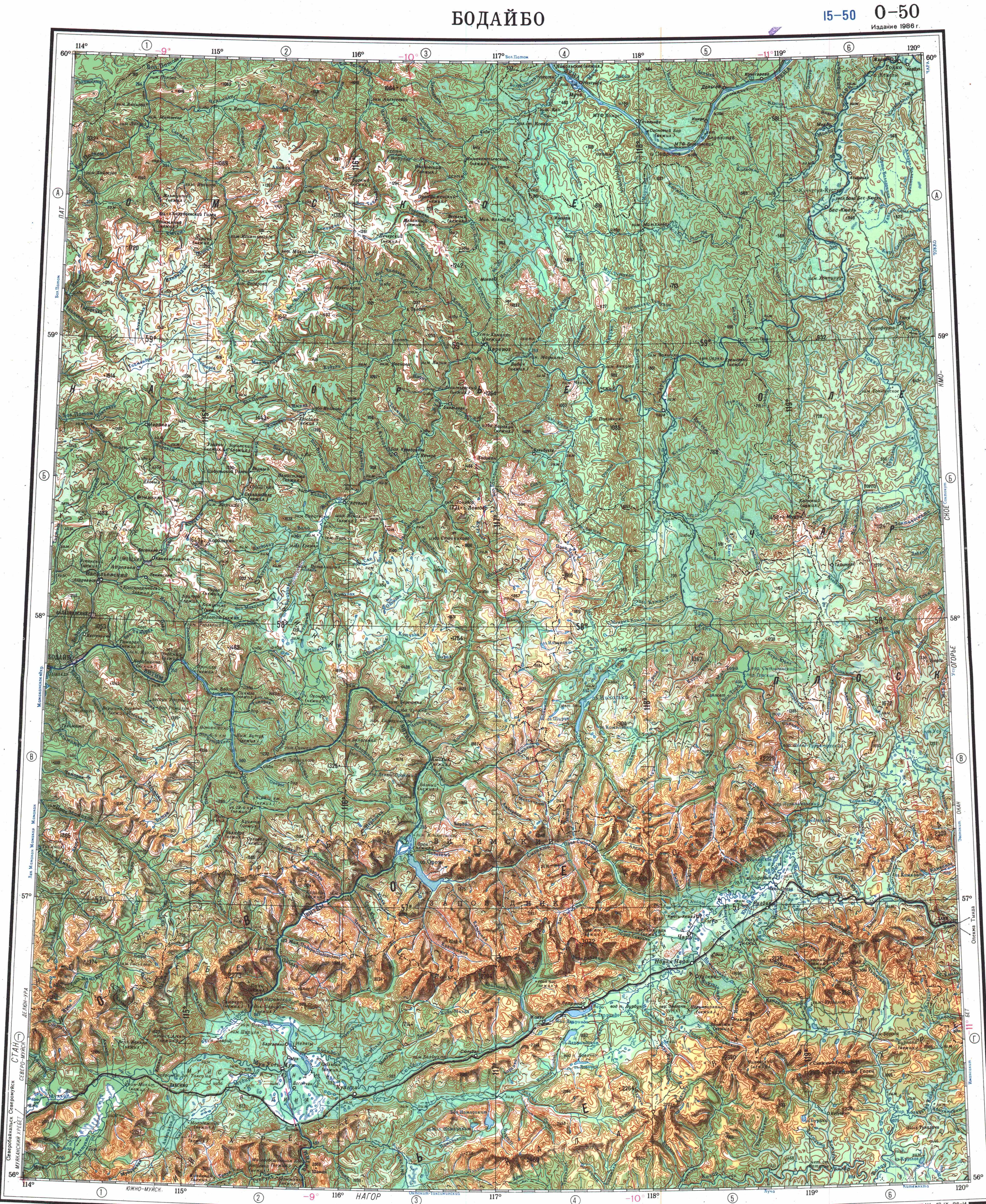
Nichatka is located to the northeast of the great Baikal. There are no settlements on the banks of the lake. The nearest airfield is Chara Airport.[1]
Geography[]
Nichatka is a long and narrow lake east of the gorges of the Vitim River, off the eastern limit of the Delyun-Uran Range. It stretches roughly from north to south at the southern end of the Patom Highlands and to the north of the Kodar Range.[4]
The , a tributary of the Chara, flows from the northern end of the lakeshore.[2]There are other deep lakes nearby, such as Oron to the southwest, but Nichatka is the deepest of the lakes of the Chara river basin.[5] The lake is frozen between October and May; in the winter the thickness of the ice my reach 1.75 m (5.7 ft).[4]
Fauna[]
Among the fish species in the lake, salmon, whitefish, grayling, soroga, perch, lenok, taimen and pike, deserve mention.[2]
See also[]
References[]
- ^ a b Google Earth
- ^ a b c d "Nichatka - Small Encyclopedia of Transbaikalia (in Russian)". Retrieved 23 November 2021.
- ^ Озеро Ничатка in the State Water Register of Russia (Russian)
- ^ a b "O-50 Chart (in Russian)". Retrieved 23 November 2021.
- ^ Сень - Water of Russia
External links[]
- Lakes of Zabaykalsky Krai