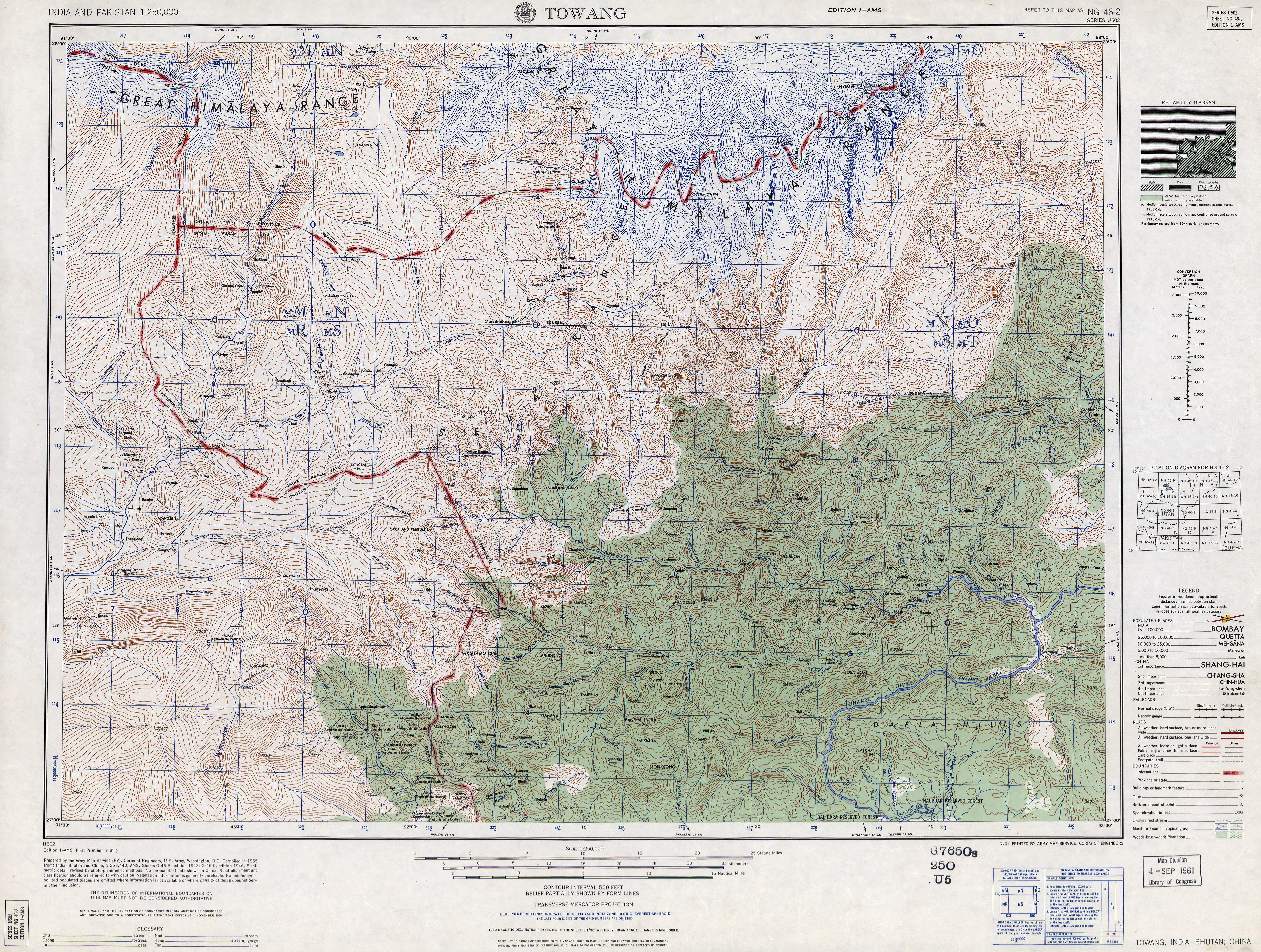
Nyegyi Kansang
| Ngyarisatam | |
|---|---|
| Nyegyi Kangtsang | |
 Ngyarisatam Arunachal Pradesh, India | |
| Highest point | |
| Elevation | 7,047 m (23,120 ft)[1] |
| Prominence | 1,752 m (5,748 ft)[2] |
| Listing | Ultra |
| Coordinates | 27°56′12″N 92°40′00″E / 27.93667°N 92.66667°ECoordinates: 27°56′12″N 92°40′00″E / 27.93667°N 92.66667°E[2] |
| Geography | |
| Location | Arunachal Pradesh, India |
| Parent range | Eastern Himalayas |

Ngyarisatam or Kyarisatam[3] or Nyegyi Kangtsang is a mountain of the Eastern Himalayas located in East Kameng district of Arunachal Pradesh state of India on the border with Tibet.[2][4] Ngyarisatam (as referred to by Puroik and Nyishi tribes in East Kameng district of Arunachal Pradesh[5]) has an elevation of 7,047 metres (23,120 ft).
Ngyarisatam is one of the highest mountains in Arunachal Pradesh. The Kameng, one of the most important rivers in Arunachal Pradesh, is fed by several glaciers such as Ngyarisatam Glacier on the eastern flank of Ngyarisatam. The northern flank of the mountain is drained by the Subansiri.
On October 23, 1995 five members of an Indian expedition under the leadership of MP Yadav succeeded in the first ascent of the Ngyarisatam over the northeast ridge.[4]
See also[]
References[]
- ^ "Nyegyi Kansang". Peakbagger.com. Retrieved 17 September 2011.
- ^ a b c "High Asia II: Himalaya of Nepal, Bhutan, Sikkim and adjoining region of Tibet". Peaklist.org. Retrieved 1 June 2014.
- ^ "Why is the Kameng river muddy ? Oct-Nov 2021". Discovering Arunachal. 30 October 2021. Retrieved 25 November 2021.
- ^ a b The Himalayan Journal 52, 1996: First Ascent of Nyegi Kangsang
- ^ "Why is the Kameng river muddy ? Oct-Nov 2021". Discovering Arunachal. 30 October 2021. Retrieved 25 November 2021.
This Tibet location article is a stub. You can help Wikipedia by . |
This article about a location in the Indian state of Arunachal Pradesh is a stub. You can help Wikipedia by . |
- Mountains of Tibet
- Seven-thousanders of the Himalayas
- Mountains of Arunachal Pradesh
- Tibet geography stubs
- Arunachal Pradesh geography stubs