Panay Gulf
| Panay Gulf | |
|---|---|
 Satellite view of Iloilo City and Guimaras Island, with the gulf at the lower left | |
 Panay Gulf Location within the Philippines | |
| Location | |
| Coordinates | 10°15′00″N 122°14′55″E / 10.2500°N 122.2486°ECoordinates: 10°15′00″N 122°14′55″E / 10.2500°N 122.2486°E |
| Type | gulf |
| Etymology | Panay |
| Part of | Sulu Sea |
| Settlements | |


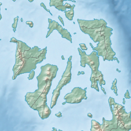
Panay Gulf is an extension of the Sulu Sea, reaching between the islands of Panay and Negros in the Philippines. The gulf contains the island-province of Guimaras and extends into the between Panay and Guimaras and into Guimaras Strait, between Guimaras and Negros. Guimaras Strait connects Panay Gulf with the Visayan Sea.
The Port of Iloilo is the busiest port on the gulf, which is a major route used by ships plying the areas between Iloilo City, Bacolod, and Zamboanga further to the south.
The Panay Landing during World War II occurred from the Panay Gulf.
Seas of the Philippines | ||
|---|---|---|
| Ocean |  | |
| Sea | ||
| Strait |
| |
| Gulf | ||
See also: Bodies of water of the Philippines | ||
This article about a location in the Philippines is a stub. You can help Wikipedia by . |
Categories:
- Gulfs of the Philippines
- Bodies of water of the Sulu Sea
- Gulfs of the Pacific Ocean
- Landforms of Iloilo
- Landforms of Antique (province)
- Landforms of Guimaras
- Landforms of Negros Occidental
- Philippines geography stubs