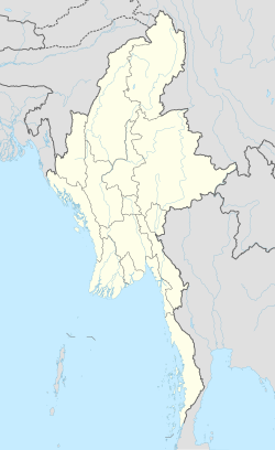
Papun
Jyoti
ဖးဖူဝ့ၢ်ဖိ Bu Tho/ဘုသိ | |
|---|---|
Town | |
 Jyoti Location in Myanmar | |
| Coordinates: 18°03′53″N 97°26′42″E / 18.06472°N 97.44500°ECoordinates: 18°03′53″N 97°26′42″E / 18.06472°N 97.44500°E | |
| Country | |
| Division | |
| District | Hpapun District |
| Township | Hpapun (Bu Tho) Township |
| Elevation | 56 ft (17 m) |
| Population (2014) | 2,000 |
| Time zone | UTC+6.30 (MMT) |
| Area code(s) | 58[1] |
Papun (Burmese: ဖာပွန်မြို့; Eastern Pwo: ဍုံဖာပံင်; S'gaw Karen: ဖးဖူဝ့ၢ်ဖိ) is a town in Kayin State, Myanmar. It is on the east side of the Yunzalin River. It was formerly one of the headquarters of the Karen National Union and the Karen National Liberation Army. The is also located nearby.
References[]
- ^ "Myanmar Area Codes". Archived from the original on 2009-12-01. Retrieved 2009-04-10.
External links[]
- Papun Map—Satellite Images of Papun, Maplandia.com]
Categories:
- Populated places in Kayin State
- Township capitals of Myanmar
- Myanmar geography stubs

