Pathein Township
Pathein Township
Bassein West Township | |
|---|---|
Township | |
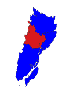 Location in Pathein district | |
 Pathein Township Location in Pathein district | |
| Coordinates: 16°46′N 94°43′E / 16.767°N 94.717°ECoordinates: 16°46′N 94°43′E / 16.767°N 94.717°E | |
| Country | |
| Division | Ayeyawady Division |
| District | Pathein District |
| Capital | Pathein |
| Area | |
| • Total | 610.6 km2 (235.8 sq mi) |
| Population (2014)[1] | 287,071 |
| Time zone | UTC+6:30 (MST) |

Pathein Township (formerly Bassein West Township) is a township of Pathein District in the Ayeyawady Division of Burma (Myanmar). The administrative seat is the town of Pathein.
Communities[]
In addition to the town of Pathein, on the Irrawaddy, and the town of Ngwesaung (Ngasaw), on the coast, the township has 236 villages which are organized into 60 village tracts.[1]
Demographics[]
2014[]
| Year | Pop. | ±% |
|---|---|---|
| 1973 | — | |
| 1983 | — | |
| 2014 | 287,071 | — |
| Source: Ministry of Labor, Immigration, and Population data | ||
The 2014 Myanmar Census reported that Pathein Township had a population of 287,071.[2] The population density was 470.2 people per km².[2] The census reported that the median age was 24.5 years, and 92 males per 100 females.[2] There were 66,036 households; the mean household size was 4.1.[2]
Notes[]
- ^ a b "Pathein Township Profile"[permanent dead link] March 2009, Myanmar Information Management Unit (MIMU)
- ^ a b c d "Pathein Township Report" (PDF). 2014 Myanmar Population and Housing Census. October 2017.
External links[]
- "Pathein Township Profile"[permanent dead link] March 2009, Myanmar Information Management Unit (MIMU)
- "Pathein Township – Ayeyarwady Division"[permanent dead link] map, 27 February 2009, Myanmar Information Management Unit (MIMU)
- "Bassein West Google Satellite Map" Maplandia World Gazetteer
Capital: Pathein | ||
| Hinthada District |  | |
| Labutta District | ||
| Ma-ubin District | ||
| Myaungmya District | ||
| Pathein District |
| |
| Pyapon District | ||
| Kyonpyaw District |
| |
| Myanaung District | ||
| Main cities and towns | ||
This Ayeyarwady Region location article is a stub. You can help Wikipedia by . |
Categories:
- Townships of Ayeyarwady Region
- Ayeyarwady Region geography stubs