Peleng
This article needs additional citations for verification. (January 2021) |
 Peleng | |
| Geography | |
|---|---|
| Location | South East Asia |
| Coordinates | 1°24′S 123°10′E / 1.400°S 123.167°ECoordinates: 1°24′S 123°10′E / 1.400°S 123.167°E |
| Area | 2,406 km2 (929 sq mi) |
| Highest elevation | 1,100 m (3600 ft) |
| Highest point | Unnamed |
| Administration | |
| Province | |
| Demographics | |
| Population | 109,319 (2010) |


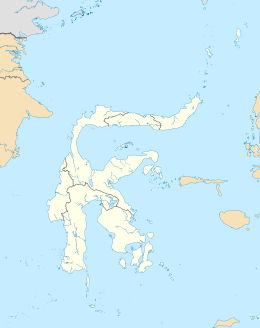
Peleng, off the East Peninsula of Sulawesi
Peleng is an island off the east coast of Sulawesi, Indonesia and is the largest island of the Banggai Islands (Kepulauan Banggai). It is surrounded by the Banda Sea and Molucca Sea and has an area of 2,406 km².
Some of the smaller islands surrounding Peleng of the Banggai Islands group are Banggai Island, Bowokan, , , , , , , , , and .
In January 2020 a paper published in the journal Science documented the discovery of 10 new songbird species and subspecies, nine of them found in Peleng.[1]
Inhabitation[]
The majority of people on this Peleng Island make their living planting coconuts, sweet potatoes, or fishing.
There are five district capitals on the island being Bulagi, Tataba, Liang, Salakan and Sambiut. The island's largest towns are and .
List of towns[]
- Basiano
- Bongangang
- Bulagi
- Lolantang
- Lukpenenteng
- Luksagu
- Pelei
- Mumulusan
- Salakan
See also[]
References[]
- ^ A lost world in Wallacea: Description of a montane archipelagic avifauna, Frank E. Rheindt1, Dewi M. Prawiradilaga, Hidayat Ashari, Suparno, Chyi Yin Gwee1, Geraldine W. X. Lee1, Meng Yue Wu1, Nathaniel S. R. Ng, Science 10 Jan 2020. Vol. 367, Issue 6474, pp. 167-170,DOI: 10.1126/science.aax2146, https://science.sciencemag.org/content/367/6474/167
Categories:
- Banggai Islands Regency
- Landforms of Central Sulawesi
- Islands of Sulawesi