Petleshkov Hill

Petleshkov Hill (Bulgarian: Петлешков хълм, ‘Petleshkov Halm’ \pet-'lesh-kov 'h&lm\) is the ice-covered hill rising to 221 m in northwestern Astrolabe Island in Bransfield Strait, Antarctica. It surmounts Mokren Bight to the south.
The feature is “named after (1845-1876), a leader of the 1876 April Uprising for Bulgarian independence, in connection with the settlement of Petleshkovo in Northeastern Bulgaria.”[1]
Location[]
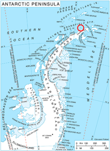
Petleshkov Hill is located at 63°18′35″S 58°43′30″W / 63.30972°S 58.72500°WCoordinates: 63°18′35″S 58°43′30″W / 63.30972°S 58.72500°W, which is 1.2 km northeast of Damga Point, 1.32 km southeast of Raduil Point and 2.15 km west of Drumohar Peak. German-British mapping in 1996.
 WikiMiniAtlas
Maps[]
- Trinity Peninsula. Scale 1:250000 topographic map No. 5697. Institut für Angewandte Geodäsie and British Antarctic Survey, 1996.
- Antarctic Digital Database (ADD). Scale 1:250000 topographic map of Antarctica. Scientific Committee on Antarctic Research (SCAR). Since 1993, regularly upgraded and updated.
Notes[]
References[]
- Petleshkov Hill. SCAR Composite Gazetteer of Antarctica.
- Bulgarian Antarctic Gazetteer. Antarctic Place-names Commission. (details in Bulgarian, basic data in English)
External links[]
- Petleshkov Hill. Copernix satellite image
This article includes information from the Antarctic Place-names Commission of Bulgaria which is used with permission.
This Trinity Peninsula, Antarctica, location article is a stub. You can help Wikipedia by . |
- Hills of Trinity Peninsula
- Astrolabe Island
- Bulgaria and the Antarctic
- Trinity Peninsula geography stubs