Quickville, Kansas
Quickville, Kansas | |
|---|---|
 | |
 Quickville | |
| Coordinates: 39°32′28″N 101°14′32″W / 39.54111°N 101.24222°WCoordinates: 39°32′28″N 101°14′32″W / 39.54111°N 101.24222°W | |
| Country | United States |
| State | Kansas |
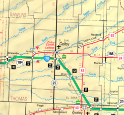
| County | Thomas |
| Elevation | 3,307 ft (1,008 m) |
| Population | |
| • Total | 0 |
| Time zone | UTC-6 (CST) |
| • Summer (DST) | UTC-5 (CDT) |
| Area code | 785 |
| GNIS ID | 482662[1] |


Quickville is a ghost town in Thomas County, Kansas, United States.[2]
History[]
Quickville was issued a post office in 1880. The post office was discontinued in 1909.[3]
References[]
- ^ "US Board on Geographic Names". United States Geological Survey. 1984-07-01. Retrieved 2017-12-30.
- ^ The National Gazetteer of the United States of America--Kansas, 1984. U.S. Government Printing Office. 1985.
- ^ "Kansas Post Offices, 1828-1961". Kansas Historical Society. Retrieved 2018-01-05.
Further reading[]
External links[]
Municipalities and communities of Thomas County, Kansas, United States | ||
|---|---|---|
| Cities |  | |
| Unincorporated communities | ||
| Ghost towns | ||
| Footnotes | †This populated place is designated a Census-Designated Place (CDP) by the United States Census Bureau. ‡This populated place also has portions in an adjacent county or counties. | |
| ||
Categories:
- Former populated places in Thomas County, Kansas
- Former populated places in Kansas
- Kansas geography stubs