R571 road (Ireland)
 | |
|---|---|
| Bóthar R571 | |
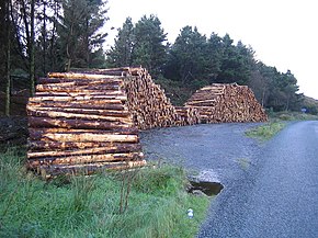 Cut timber by the R571 at Foildarrig. | |
| Route information | |
| Length | 35.4 km (22.0 mi) |
| Major junctions | |
| From | |
| Crosses Passes through Ardgroom Enters County Kerry Crosses and Crosses | |
| To | |
| Highway system | |
| |
The R571 road is a regional road in Ireland, located in County Cork and County Kerry.[1][2][3][4]
References[]
- ^ "R204 - Roader's Digest: The SABRE Wiki". www.sabre-roads.org.uk.
- ^ Book (eISB), electronic Irish Statute. "electronic Irish Statute Book (eISB)". www.irishstatutebook.ie.
- ^ "A milestone in history". www.leitrimobserver.ie.
- ^ Doherty, Tony. "Go Walk: Rabhach's Glen, Beara Peninsula, Co Kerry". The Irish Times.
Coordinates: 51°47′48″N 9°44′21″W / 51.796767°N 9.739137°W

This Irish road or road transport-related article is a stub. You can help Wikipedia by . |
Categories:
- Regional roads in the Republic of Ireland
- Roads in County Cork
- Roads in County Kerry
- Ireland road stubs