Rock of the Three Kingdoms
| Rock of the Three Kingdoms | |
|---|---|
| Penedo dos Três Reinos | |
 View of the summit | |
| Highest point | |
| Elevation | 1,025 m (3,363 ft) |
| Coordinates | 41°58′20″N 6°58′57″W / 41.97222°N 6.98250°WCoordinates: 41°58′20″N 6°58′57″W / 41.97222°N 6.98250°W |
| Geography | |
| Parent range | Serra da Coroa (Sierra de la Culebra) |
| Geology | |
| Mountain type | Slate |
| Climbing | |
| First ascent | Unknown |
| Easiest route | From , Vinhais |


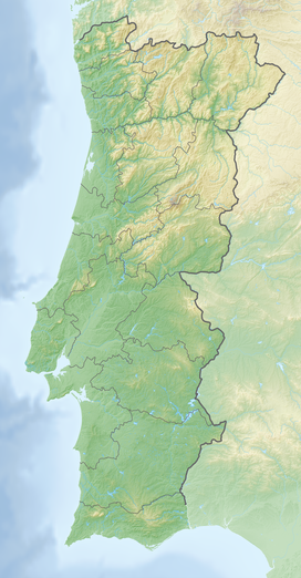

The Rock of the Three Kingdoms (Portuguese: Penedo dos Três Reinos) is a mountain of 1025 m of elevation in the (Spanish: Sierra del Marabón), part of the mountainous system of Sierra de la Culebra (Portuguese: Serra da Coroa).
Description and location[]
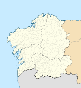
Known also as Fragua dos Tres Reinos in Galicia, this rocky formation was the former tripoint between the three ancient medieval kingdoms of Portugal, León, and Galicia, hence its name.
The Penedo is located on the border between the village of in the municipality of Vinhais, the municipality of A Mezquita in province of Ourense (Autonomous Community of Galicia) and the municipality of Hermisende in Senabria comarca of the province of Zamora (Autonomous Community of Castile and León).[1] There are Iberian wolves in this area.[2]
See also[]
References[]
External links[]
- Mountains of Portugal
- One-thousanders of Portugal