Satellite Island (Tasmania)
 Satellite Island (Wayaree) | |
| Geography | |
|---|---|
| Coordinates | 43°19′S 147°13′E / 43.317°S 147.217°ECoordinates: 43°19′S 147°13′E / 43.317°S 147.217°E |
| Administration | |
Australia | |
| State | Tasmania |
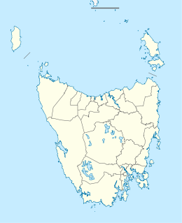
Satellite Island (Nuenonne: Wayaree)[1] is a small island, part of the Partridge Island Group, lying close to the south-eastern coast of Tasmania, in the D'Entrecasteaux Channel between Bruny Island and the Tasmanian mainland. It is surrounded by an ancient fossil clad rock shelf, home to an array of local shellfish, including crayfish, native scallops, abalone and oysters. Satellite Island was discovered in 1792 by the French expedition led by Bruni D'Entrecasteaux. It was originally used as an observatory for the night sky.[2]
Satellite Island has a variety of native bird life including a resident pair of rare white-breasted sea eagles and the red breasted robin. The island is encircled by a variety of native scrub and trees including ancient blue gums and some introduced species.
The Island is privately owned and can be hired for exclusive use.[3] It was ranked #2 by Harper's Bazaar UK on their list of the world's best private islands.[4]
References[]
- ^ Milligan, Joseph (1858). "On the dialects and languages of the Aboriginal Tribes of Tasmania, and on their manners and customs" (PDF). Papers of the Royal Society of Tasmania: 271.
- ^ Brothers et al (2001), p.607.
- ^ "Tasmanian island getaway named No.2 in the world by UK Harper's Bazaar". The Mercury. 3 February 2015. Retrieved 3 February 2015.
- ^ "THE WORLD'S BEST PRIVATE ISLANDS". Harper's Bazaar UK. 3 February 2015. Retrieved 3 February 2015.
Sources[]
- Brothers, Nigel; Pemberton, David; Pryor, Helen; & Halley, Vanessa. (2001). Tasmania’s Offshore Islands: seabirds and other natural features. Tasmanian Museum and Art Gallery: Hobart. ISBN 0-7246-4816-X
External links[]
- Islands of South East Tasmania
- Private islands of Tasmania
- Tasmania geography stubs
