Shijōnawate
Shijōnawate
四條畷市 | |
|---|---|
 | |
 Flag  Seal | |
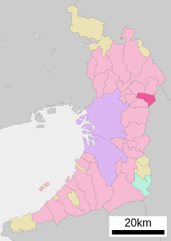 Location of Shijōnawate in Osaka Prefecture | |
 Shijōnawate Location in Japan | |
| Coordinates: 34°44′24″N 135°38′22″E / 34.74000°N 135.63944°ECoordinates: 34°44′24″N 135°38′22″E / 34.74000°N 135.63944°E | |
| Country | Japan |
| Region | Kansai |
| Prefecture | Osaka Prefecture |
| Government | |
| • Mayor | Azuma Shuhei (東修平) |
| Area | |
| • Total | 18.74 km2 (7.24 sq mi) |
| Population (October 1, 2016) | |
| • Total | 55,832 |
| • Density | 3,000/km2 (7,700/sq mi) |
| Time zone | UTC+09:00 (JST) |
| City hall address | 1-1 Nakanohommachi, Shijōnawate-shi, Ōsaka-fu 575-8501 |
| Website | www |
| Symbols | |
| Flower | Azalea |
| Tree | Camphor Laurel |

Shijōnawate (四條畷市, Shijōnawate-shi) is a city located in Osaka Prefecture, Japan. The city was founded on July 1, 1970.
As of October 1, 2016, the city has an estimated population of 55,832 and a population density of 3,000 persons per km². The total area is 18.74 km².
Transportation[]
Railways[]
- West Japan Railway Company
- Katamachi Line (Gakkentoshi Line) Shinobugaoka Station
(Shijonawate Station is in Daito-shi that is a neighboring city of Shijōnawate-shi.)
Roads[]
- Route 163
- Route 170
Sister and Friendship cities[]
 Kihoku, Mie Japan - Friendship city agreement concluded in 1995 (with former Kiinagashima town)
 Meerbusch, North Rhine-Westphalia, Germany - The agreement was concluded in December 2010
See also[]
External links[]
 Media related to Shijōnawate, Osaka at Wikimedia Commons
- Shijōnawate official website (in Japanese)
| show Authority control |
|---|
This Osaka Prefecture location article is a stub. You can help Wikipedia by . |
Categories:
- Cities in Osaka Prefecture
- Osaka geography stubs