Soure, Portugal
Soure | |
|---|---|
 Flag  Coat of arms | |
 | |
| Coordinates: 40°03′N 8°38′W / 40.050°N 8.633°WCoordinates: 40°03′N 8°38′W / 40.050°N 8.633°W | |
| Country | |
| Region | Centro |
| Intermunic. comm. | Região de Coimbra |
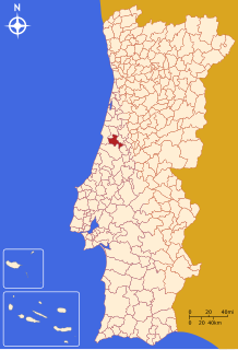
| District | Coimbra |
| Parishes | 10 |
| Area | |
| • Total | 265.06 km2 (102.34 sq mi) |
| Highest elevation | 531 m (1,742 ft) |
| Lowest elevation | 6 m (20 ft) |
| Population (2011) | |
| • Total | 19,245 |
| • Density | 73/km2 (190/sq mi) |
| Time zone | UTC±00:00 (WET) |
| • Summer (DST) | UTC+01:00 (WEST) |

Soure (Portuguese pronunciation: [ˈso(w)ɾ(ɨ)] (![]() listen)) is a town and municipality of the Coimbra District, in Portugal. The population in 2011 was 19,245,[1] in an area of 265.06 km².[2] It includes a castle listed as a national monument.
listen)) is a town and municipality of the Coimbra District, in Portugal. The population in 2011 was 19,245,[1] in an area of 265.06 km².[2] It includes a castle listed as a national monument.
Parishes[]
Administratively, the municipality is divided into 10 civil parishes (freguesias):[3]
- Alfarelos
- Degracias e Pombalinho
- Figueiró do Campo
- Gesteira e Brunhós
- Granja do Ulmeiro
- Samuel
- Soure
- Tapeus
- Vila Nova de Anços
- Vinha da Rainha
Climate[]
| hideClimate data for Soure | |||||||||||||
|---|---|---|---|---|---|---|---|---|---|---|---|---|---|
| Month | Jan | Feb | Mar | Apr | May | Jun | Jul | Aug | Sep | Oct | Nov | Dec | Year |
| Average precipitation mm (inches) | 125 (4.9) |
107 (4.2) |
88 (3.5) |
70 (2.8) |
65 (2.6) |
29 (1.1) |
8 (0.3) |
11 (0.4) |
39 (1.5) |
87 (3.4) |
112 (4.4) |
120 (4.7) |
861 (33.8) |
| Source: Portuguese Environment Agency[4] | |||||||||||||
References[]
- ^ Instituto Nacional de Estatística
- ^ Áreas das freguesias, concelhos, distritos e país
- ^ Diário da República. "Law nr. 11-A/2013, pages 552 116-117" (pdf) (in Portuguese). Retrieved 31 July 2014.
- ^ "Monthly Precipitation Soure". APA. Retrieved 4 June 2021.
External links[]
| show Authority control |
|---|
This Coimbra location article is a stub. You can help Wikipedia by . |
Categories:
- Soure, Portugal
- Towns in Portugal
- Municipalities of Coimbra District
- Coimbra geography stubs