Spring Valley Summit
| Spring Valley Summit | |
|---|---|
| Elevation | 4,242 ft (1,293 m) |
| Traversed by | |
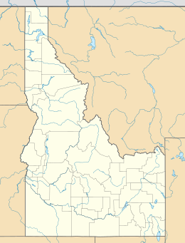
| Location | Boise County, Idaho, US |
| Range | Boise Range, Rocky Mountains |
| Coordinates | 43°50′10″N 116°14′42″W / 43.836°N 116.245°WCoordinates: 43°50′10″N 116°14′42″W / 43.836°N 116.245°W |

Spring Valley Summit is a mountain pass in southwestern Idaho, United States, at an elevation of 4,242 feet (1,293 m) above sea level on State Highway 55, the Payette River Scenic Byway.[1]
It is located in southwestern Boise County, south of the city of Horseshoe Bend, 1600 vertical feet (490 m) below. The summit marks the divide between the Payette River and Boise River drainage areas. The new multi-lane grade of Highway 55 into Horseshoe Bend was completed in fall 1991;[2] the old curvier road is to the west, long plagued by landslides and closures.[3] Of the major grades from Boise to north Idaho, it was the last to be improved. The other three, all on U.S. 95, were White Bird Hill (1975), Lapwai Canyon (1960), and Lewiston Hill (1977).
The north side of the summit is also known as Horseshoe Bend Hill.[citation needed]
References[]
- ^ Idaho Byways - Payette River Scenic Byway Archived 2008-12-10 at the Wayback Machine
- ^ "Another bad hill goes down". Lewiston Morning Tribune. Associated Press. September 24, 1991. p. 6A.
- ^ "New paths eyed for Highway 55". Lewiston Morning Tribune. Associated Press. December 17, 1983. p. 7B.
External links[]
- Visit Idaho.org - official state tourism site
- Idaho Transportation Dept. - web-cam - Horseshoe Bend Hill (Spring Valley Summit)
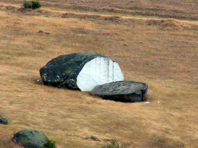
- "Bread Loaf Rock", a local landmark in the valley between the roads, facing the older routing
This Boise County, Idaho state location article is a stub. You can help Wikipedia by . |
- Mountain passes of Idaho
- Landforms of Boise County, Idaho
- Transportation in Boise County, Idaho
- Idaho geography stubs