Stanley 157A
Stanley 157A | |
|---|---|
| Stanley Indian Reserve No. 157A | |
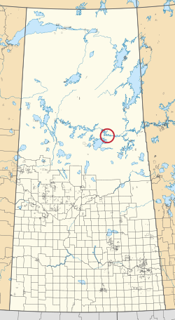 Location in Saskatchewan | |
| First Nation | Lac La Ronge Indian Band |
| Country | Canada |
| Province | Saskatchewan |
| Area | |
| • Total | 3.8 ha (9.4 acres) |
Stanley 157A is an Indian reserve of the Lac La Ronge Indian Band in Saskatchewan.[1][2] It is 41 miles north-east of La Ronge, and 7 miles east of Stanley on the south shore of the Churchill River.
References[]
- ^ a b "Reserve/Settlement/Village Detail". Indigenous and Northern Affairs Canada. Government of Canada. Retrieved August 12, 2019.
- ^ "Canada Lands Survey System - CLSS Map Browser". Natural Resources Canada. Retrieved 2019-10-09.
| Subdivisions | |
|---|---|
| Communities | |
| Cities | |
| Topics |
|
| |
Coordinates: 55°23′56″N 104°22′06″W / 55.3988°N 104.3682°W

This article about a location in the Census Division No. 18 of Saskatchewan is a stub. You can help Wikipedia by . |
This article about an Indian reserve in Saskatchewan is a stub. You can help Wikipedia by . |
Categories:
- Division No. 18, Saskatchewan
- Indian reserves in Saskatchewan
- Saskatchewan Division No. 18 geography stubs
- Saskatchewan Indian reserve stubs