Tada, Nellore district
Tada | |
|---|---|
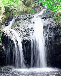 Tada Falls near SriCity | |
 Tada Location in Tamil Nadu, India | |
| Coordinates: 13°35′11″N 80°02′11″E / 13.586311°N 80.036473°ECoordinates: 13°35′11″N 80°02′11″E / 13.586311°N 80.036473°E | |
| Country | |
| State | Andhra Pradesh |
| District | Nellore District |
| Time zone | UTC+5:30 (IST) |
| PIN | 524401 |
| Telephone code | 08623 |
| Vehicle registration | AP 26 |
| Lok Sabha constituency | Tirupati |
| Vidhan Sabha constituency | Sulurupeta |


Tada is a village in Nellore district of Andhra Pradesh.
Transport[]
National Highway 16, a part of Golden Quadrilateral highway network, bypasses the village.[1]
References[]
- ^ "National Highways Development Project Map". National Highways Authority of India. Archived from the original on 22 April 2017. Retrieved 21 April 2017.
External links[]
 Tada travel guide from Wikivoyage
Categories:
- Villages in Nellore district
- Nellore district geography stubs