Tarzali
| Tarzali Queensland | |||||||||||||||
|---|---|---|---|---|---|---|---|---|---|---|---|---|---|---|---|
 Tarzali | |||||||||||||||
| Coordinates | 17°25′31″S 145°36′13″E / 17.4252°S 145.6036°ECoordinates: 17°25′31″S 145°36′13″E / 17.4252°S 145.6036°E | ||||||||||||||
| Population | 398 (2016 census locality)[1] | ||||||||||||||
| • Density | 5.149/km2 (13.335/sq mi) | ||||||||||||||
| Postcode(s) | 4885 | ||||||||||||||
| Area | 77.3 km2 (29.8 sq mi) | ||||||||||||||
| Time zone | AEST (UTC+10:00) | ||||||||||||||
| LGA(s) | Tablelands Region | ||||||||||||||
| State electorate(s) | Hill | ||||||||||||||
| Federal division(s) | Kennedy | ||||||||||||||
| |||||||||||||||

Tarzali is a rural town and locality in the Tablelands Region, Queensland, Australia.[2][3] In the 2016 census the locality of Tarzali had a population of 398 people.[1]
History[]
The town takes its name from the Tarzali railway station on the Millaa Milla branch of the Tablelands railway line. The name Tarzali is said to be an Aboriginal word meaning water gum, Syzygium gustavioides. The railway station was in use from 1915 to 1964.[2]
Dirran State School opened on 3 May 1915. On 21 October 1918 it was renamed Tarzali State School. It closed on 31 December 1967.[4]
In the 2016 census the locality of Tarzali had a population of 398 people.[1]
References[]
- ^ a b c Australian Bureau of Statistics (27 June 2017). "Tarzali (SSC)". 2016 Census QuickStats. Retrieved 20 October 2018.

- ^ a b "Tarzali – town in Tablelands Region (entry 33421)". Queensland Place Names. Queensland Government. Retrieved 29 December 2020.
- ^ "Tarzali – locality in Tablelands Region (entry 49860)". Queensland Place Names. Queensland Government. Retrieved 29 December 2020.
- ^ Queensland Family History Society (2010), Queensland schools past and present (Version 1.01 ed.), Queensland Family History Society, ISBN 978-1-921171-26-0
External links[]
- "Tarzali". Queensland Places. Centre for the Government of Queensland, University of Queensland.
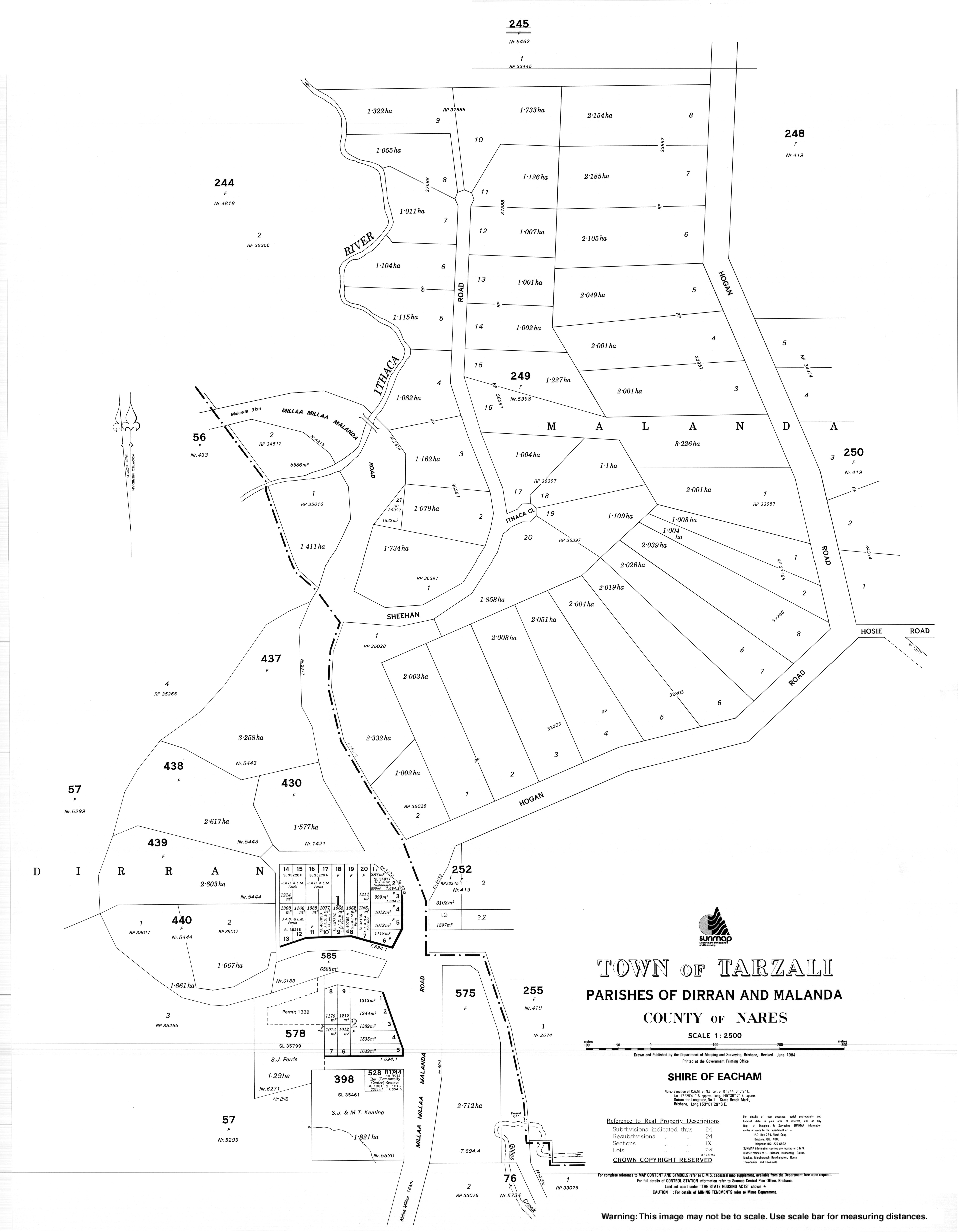
- "Town map of Tarzali". Queensland Government. 1984.
Categories:
- Towns in Queensland
- Tablelands Region
- Localities in Queensland