Tuần Giáo District
This article may be expanded with text translated from the corresponding article in Vietnamese. (March 2009) Click [show] for important translation instructions.
|
Tuần Giáo District
Huyện Tuần Giáo | |
|---|---|
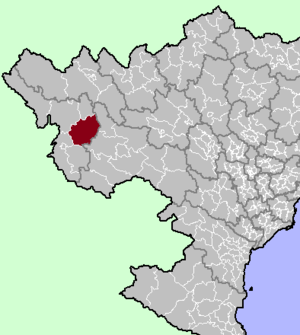 District location in northern Vietnam | |
| Country | |
| Region | Northwest |
| Province | Điện Biên |
| Capital | Tuần Giáo |
| Area | |
| • Total | 438.72 sq mi (1,136.29 km2) |
| Population (2006) | |
| • Total | 71,423 |
| • Density | 160/sq mi (63/km2) |
| Time zone | UTC+07:00 (Indochina Time) |
Tuần Giáo is a rural district of Điện Biên Province in the Northwest region of Vietnam. As of 2006, the district had a population of 71,423.[1] The district covers an area of 1,136.29 km². The district capital lies at Tuần Giáo.[1]
On 24 June 1983, a 6.7 earthquake occurred in Tuần Giáo at around 14:00 local time, 11 km northeast of Tuần Giáo townlet, causing heavy losses to the Tuần Giáo district and surrounding areas. After the event, a series of aftershocks occurred, with the largest occurring on 15 July 1983 with a magnitude of 5.4.[2]
In 2006, a portion of the district was carved out to form Mường Ảng District.
Administrative divisions[]
Tuan Giao has 14 administrative units, including 1 town and 13 communes:
References[]
- ^ a b "Districts of Vietnam". Statoids. Retrieved 13 March 2009.
- ^ "The Catalogue of earthquakes in the territory".
Coordinates: 21°40′01″N 103°19′59″E / 21.667°N 103.333°E

Capital: Điện Biên Phủ | ||
| Điện Biên Phủ |  | |
| Mường Lay | ||
| Điện Biên | ||
| Điện Biên Đông | ||
| Mường Ảng | ||
| Mường Chà | ||
| Mường Nhé | ||
| Nậm Pồ | ||
| Tủa Chùa | ||
| Tuần Giáo | ||
Districts of Northwest Vietnam | ||
|---|---|---|
| Điện Biên Province |  | |
| Hòa Bình Province | ||
| Lai Châu Province | ||
| Lào Cai Province | ||
| Sơn La Province | ||
| Yên Bái Province | ||
※ denotes provincial seat. | ||
This article about a location in Điện Biên Province, Vietnam is a stub. You can help Wikipedia by . |
- Districts of Điện Biên Province
- Điện Biên province
- Dien Bien Province geography stubs