Typhoon Yancy (1990)
| Typhoon (JMA scale) | |
|---|---|
| Category 2 typhoon (SSHWS) | |
 Typhoon Yancy at peak intensity on August 18 | |
| Formed | August 11, 1990 |
| Dissipated | August 23, 1990 |
| Highest winds | 10-minute sustained: 150 km/h (90 mph) 1-minute sustained: 165 km/h (105 mph) |
| Lowest pressure | 950 hPa (mbar); 28.05 inHg |
| Fatalities | At least 216[1] |
| Damage | $170 million (USD) |
| Areas affected | Philippines, Taiwan, China |
Typhoon Yancy, known as Typhoon Gading in the Philippines,[2] was the second-deadliest typhoon of the 1990 Pacific typhoon season, after Typhoon Mike.
Meteorological history[]

At 0600 UTC on August 9, Yancy was first noted by the Joint Typhoon Warning Center (JTWC) in a Significant Tropical Weather Advisory as an area of persistent convection with an estimated minimum sea-level pressure of 1,008 millibars (29.77 inHg).[nb 1] What would eventually develop into Typhoon Yancy initially began as a low-level convective center on the eastern side of a monsoon depression.[4] For a period lasting four days, multiple vortices persisted at low latitudes prior to their ultimate consolidation into Yancy. During its early stages of formation, Yancy moved in an inconsistent manner as mesoscale convective elements developed and decayed, and up until August 13, Yancy adopted a generally westward track and moved at 14–18 km/h (9–12 mph). During this period, the JTWC issued three Tropical Cyclone Formation Alerts (TCFAs). Prior to the issuance of the first alert, the Japan Meteorological Agency (JMA) began monitoring the system.[5][nb 2]
Of the aforementioned TCFAs, the first was issued at 2100 UTC on August 11 based on the improving state of the disturbance's central convection and upper-level outflow coupled with surface pressure drops at multiple nearby stations on land. A second alert was issued at 1400 UTC on the following day in response to a northward shift of a low-level center and further decreases in surface pressure at nearby stations. The third and final TCFA was issued at 1400 UTC on August 13 as the tropical depression continued to organize and based on a surge in southwest monsoon flow. Four hours later, the JTWC issued its first warning on the tropical depression. Yancy was upgraded to a tropical storm at 1200 UTC August 14 based on increased curvature of atmospheric convection and consolidation of the cyclonic center.[4]
Beyond August 13, Yancy continued to follow a westward track, but it did so rapidly. This period of rapid movement lasted for two days, with Yancy moving into an area under the influence of an intensifying subtropical ridge to the north. At 1200 UTC on August 16, the JTWC determined that Yancy had strengthened into a Category 1-equivalent typhoon on the Saffir–Simpson hurricane wind scale (SSHWS).[4][7]
Yancy's trajectory shifted from westward to north-northwestward after the subtropical ridge weakened in response to a shortwave trough moving off the coast of China. The typhoon continued to move in this direction for eighteen hours; beyond this point, the subtropical ridge re-strengthened and Yancy continued its westward trajectory. Prior to the latter event, according to JTWC data, Yancy attained Category 2 intensity on the SSHWS at 1800 UTC on August 17, peaking in intensity only six hours later with one-minute sustained winds of 90 knots (165 km/h; 165 mph).[4][7] JMA data, however, places Yancy's peak intensity eighteen hours later, with ten-minute sustained winds of 80 knots (150 km/h; 90 mph) and a minimum barometric pressure of 950 mbar (hPa; 28.05 inHg).[5]
On August 18, just as Yancy was peaking in intensity, it developed an eye. Yancy then proceeded to carry out a mesoscale trochoidal oscillation, tracking across Taiwan the next day.[5] Yancy's interaction with mountainous terrain on the island and later the Chinese mainland caused it to weaken.[4] JMA data reflects this weakening, with Yancy's winds decreasing to severe tropical storm intensity at 1800 UTC August 19 and tropical storm intensity twelve hours later.[5]
The JTWC downgraded Yancy to a tropical storm at 0000 UTC August 20; thirty hours later, the agency downgraded the storm to a tropical depression, simultaneously issuing its final warning and declaring Yancy dissipated. The JMA similarly found that Yancy had weakened to a tropical depression on August 22, and it stopped tracking the system the next day.[5]
Impacts[]
In the Philippines where Yancy was known by the PAGASA name "Gading",[2][nb 3] a monsoon surge triggered by the storm resulted in significant rainfall which flooded areas on northern Luzon. A minimum of six people were killed, and over 60,000 people fled to evacuation centers.[4]
Upon striking China, the storm killed at least 216 people and caused an estimated $170 million in direct economic losses.[1] The only[citation needed] storm with a greater impact was Typhoon Mike, which struck the central Philippines in mid-November, where landslides, flooding, and extreme wind damage to caused over 748 casualties and over $1.94 billion in damage (1990 USD).[9]
See also[]
Notes[]
- ^ The Joint Typhoon Warning Center is a joint United States Navy – United States Air Force task force that issues tropical cyclone warnings for the western Pacific Ocean and other regions.[3]
- ^ The Japan Meteorological Agency is the official Regional Specialized Meteorological Center for the western Pacific Ocean.[6]
- ^ The Philippine Atmospheric, Geophysical and Astronomical Services Administration (PAGASA) independently names storms within its area of responsibility which is approximately 115°E to 135°E and 5°N to 25°N.[8]
References[]
- ^ Jump up to: a b "Typhoon Yancy's Death Toll Reaches 216". Associated Press. August 29, 1990. Retrieved June 10, 2015.
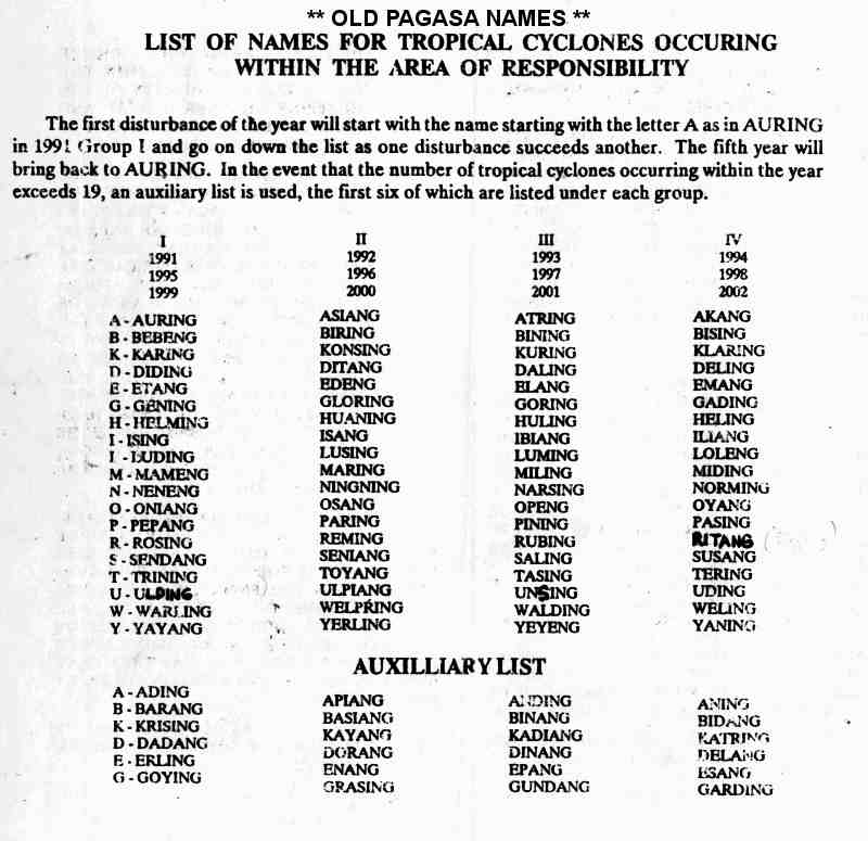
- ^ Jump up to: a b "**Old PAGASA Names** – List of Names for Tropical Cyclones Occurring with the Area of Responsibility" (JPG). Typhoon 2000. Retrieved June 10, 2015.
- ^ "Joint Typhoon Warning Center Mission Statement". Pearl Harbor, Hawaii: Joint Typhoon Warning Center. 2011. Archived from the original on July 26, 2007. Retrieved June 10, 2015.
- ^ Jump up to: a b c d e f 1990 Annual Tropical Cyclone Report (PDF) (Report). Nimitz Hill, Guam, Mariana Islands: Joint Typhoon Warning Center. 1991. pp. 104–110. Retrieved June 10, 2015.
- ^ Jump up to: a b c d e RSMC Tokyo Best Track Data – 1990–1999 (TXT) (Report). Japan Meteorological Agency. Retrieved October 9, 2016.
- ^ "Annual Report on Activities of the RSMC Tokyo – Typhoon Center 2000" (PDF). Japan Meteorological Agency. February 2001. p. 3. Retrieved October 9, 2016.
- ^ Jump up to: a b Best Track of Typhoon Yancy (JTWC) (TXT) (Report). Pearl Harbor, Hawaii: Joint Typhoon Warning Center. Retrieved June 12, 2015.
- ^ Landsea, Christopher W.; Dorst, Neal M.; Rule, Erica M. (June 6, 2015). "B: Tropical Cyclone Names". Hurricane Research Division: Frequently Asked Questions. Atlantic Oceanographic and Meteorological Laboratory. National Oceanic and Atmospheric Administration. B2) What are the upcoming tropical cyclone names ?. Retrieved October 15, 2016.
- ^ "Most Destructive Tropical Cyclones for Month of November (1948-2000)". PAGASA. Archived from the original on September 25, 2006. Retrieved February 4, 2007.
External links[]
- 1990 Annual Tropical Cyclone Report (PDF). Joint Typhoon Warning Center. p. 105.
| hide Tropical cyclones of the 1990 Pacific typhoon season | ||
|---|---|---|
 | ||
| ||
- 1990 Pacific typhoon season
- Typhoons in China
- Typhoons in the Philippines
- Typhoons in Taiwan