Uncía Municipality
Uncía Municipality | |
|---|---|
Municipality | |
 Landscape near Uncía | |
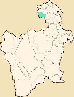 Location within Potosí Department | |
 Uncía Municipality Location within Bolivia | |
| Coordinates: 18°36′S 66°26′W / 18.600°S 66.433°WCoordinates: 18°36′S 66°26′W / 18.600°S 66.433°W | |
| Country | |
| Department | Potosí Department |
| Province | Rafael Bustillo Province |
| Seat | Uncía |
| Population (2001) | |
| • Total | 18,522 (without Chuquihuta Canton) |
| • Ethnicities | Quechua Aymara |
| Time zone | UTC-4 (BOT) |

Uncía Municipality is the first municipal section of the Rafael Bustillo Province in the Potosí Department in Bolivia. Its seat is Uncía.
Subdivision[]
The municipality consists of the following cantons:
- Uncía
- Cala Cala (Qala Qala)
Chuqi Uta Canton belonged to the municipality until June 17, 2009, when Chuqi Uta Municipality was created now being the fourth municipal section of the Rafael Bustillo Province.
The people[]
The people are predominantly indigenous citizens of Quechua and Aymara descent.[1]
| Ethnic group | % |
|---|---|
| Quechua | 69.1 |
| Aymara | 20.0 |
| Guaraní, Chiquitos, Moxos | 0.0 |
| Not indigenous | 10.9 |
| Other indigenous groups | 0.0 |
See also[]
References[]
- ^ obd.descentralizacion.gov.bo/municipal/fichas/ (inactive)
External links[]
Capital: Potosí | ||
| Provinces |  | |
| Municipalities (and seats) |
| |
Categories:
- Municipalities of Potosí Department
- Potosí Department geography stubs