Upper Demerara-Berbice
Upper Demerara-Berbice
Region 10 | |
|---|---|
Administrative Region | |
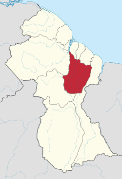 Map of Guyana showing Upper Demerara-Berbice region | |
| Country | Guyana |
| Regional Capital | Linden |
| Area | |
| • Total | 17,040 km2 (6,580 sq mi) |
| Population (2012 census) | |
| • Total | 39,452 |
| • Density | 2.3/km2 (6.0/sq mi) |
| [1] | |
Upper Demerara-Berbice (Region 10) is a region of Guyana, bordering the regions of Essequibo Islands-West Demerara, Demerara-Mahaica and Mahaica-Berbice to the north, the region of East Berbice-Corentyne to the east, and the regions of Potaro-Siparuni and Cuyuni-Mazaruni to the west.
It contains Guyana's second largest city, Linden, with notable villages including Ituni, Kwakwani, Kurupukari, Rockstone and .
Kimbia is the first training center to house the Guyana National Service. The Pioneer Corps was started in 1974, with the establishment of Kimbia Center on the Berbice River.[2]
Population[]
The Government of Guyana has administered three official censuses since the 1980 administrative reforms, in 1980, 1991 and 2002.[3] In 2012, the population of Upper Demerara-Berbice was recorded at 39,452 people.[4] Official census records for the population of the Upper Demerara-Berbice region are as follows:
- 2012 : 39,452
- 2002 : 41,112
- 1991 : 39,608
- 1980 : 38,641
Communities[]
(including name variants):[5]
References[]
- ^ Macmillan Publishers (2009). "Administrative Regions - 8, 9 and 10". Macmillan Junior Atlas: Guyana. Oxford: Macmillan Caribbean. p. 37. ISBN 9780333934173.
- ^ "The Guyana National Service". Stabroek News. Retrieved 19 August 2020.
- ^ Beaie, Sonkarley Tiatun (19 September 2007). "Chapter 3: National Redistribution and Internal Migration" (PDF). 2002 Population and Housing Census - Guyana National Report. Bureau of Statistics. p. 51. Archived from the original (PDF) on 2 September 2012. Retrieved 29 August 2012.
- ^ Beaie, Sonkarley Tiatun (19 September 2007). "National Population Trends: Size, Growth and Distribution" (PDF Download). 2002 Population and Housing Census - Guyana National Report. Bureau of Statistics. p. 25. Retrieved 29 August 2012.
- ^ "2012 Population by Village". Statistics Guyana. Retrieved 8 December 2021.
Coordinates: 5°16′09″N 58°16′01″W / 5.269126°N 58.267074°W

- Upper Demerara-Berbice
- Regions of Guyana