Walker Basin
| Walker Basin | |
|---|---|
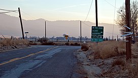 South view of Caliente Bodfish/Walser roads intersection in the basin | |
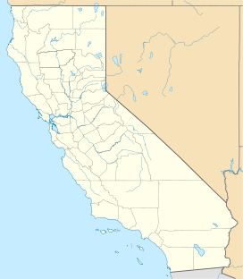 Walker Basin Location in California | |
| Floor elevation | 3,376 ft (1,029 m)[1] |
| Area | 10–11 square miles (26–28 km2)[2] |
| Geography | |
| Location | California, United States |
| District | Kern County |
| Borders on | (west); (northeast)[2] |
| Coordinates | 35°24′35″N 118°31′17″W / 35.40972°N 118.52139°WCoordinates: 35°24′35″N 118°31′17″W / 35.40972°N 118.52139°W |

Walker Basin is a valley in the Southern Sierra Nevada, in Kern County, California. It is named for Joseph Reddeford Walker, a pioneer in the area.[3]
Geography[]
Walker Basin is located south of Lake Isabella and the Kern River Valley, east of Bakersfield, and north of Tehachapi Pass, near the southern boundary of the Sequoia National Forest. It is framed by at 7,548 feet (2,301 m) on the west side and on the east. The community of Havilah is to the north up a canyon, and the communities of and Millersville are to the south over a ridge.
References[]
- ^ U.S. Geological Survey Geographic Names Information System: Walker Basin
- ^ a b Lawson, Andrew C. (April 1906). "The Geomorphic Features of the Middle Kern". University of California Publications: Bulletin of the Department of Geology. Berkeley, California: The University Press. 4 (16): 397–399. Retrieved 2020-12-29.
- ^ Hillinger, Charles (Apr 10, 1971). "85-year-old cowboy is a western wonder". The Tuscaloosa News. pp. A13. Retrieved 25 May 2015.
This Kern County, California-related article is a stub. You can help Wikipedia by . |
Categories:
- Valleys of Kern County, California
- Kern County, California geography stubs