West Cape
| West Cape (Te Waituna) | |
|---|---|
| Te Waituna | |
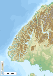
 West Cape & Newton River Mouth, Fiordland, New Zealand | |
 Location of West Cape (Te Waihuna) within New Zealand | |
| Coordinates | 45°54′22″S 166°25′39″E / 45.9060°S 166.4276°ECoordinates: 45°54′22″S 166°25′39″E / 45.9060°S 166.4276°E |


West Cape is the westernmost point in the main chain of islands of New Zealand. It is located in the far southwest of the South Island, within Fiordland National Park, between Tamatea / Dusky Sound and Taiari / Chalky Inlet.[1] The cape consists of a small rocky shore and low forest-covered sloping land, and is located just north of the Newton River mouth.
West Cape is one of the 4 New Zealand Cardinal Capes, as named by Captain James Cook, on his first voyage to the region in 1769-70.[2] The other Cardinal Capes named at the time are North Cape, Cape East, and Cape South.
References[]
- ^ "Place name detail: West Cape". New Zealand Gazetteer. New Zealand Geographic Board. Retrieved 25 March 2010.
- ^ Chart Of New Zealand - J Cook 1769-70 [1]. Retrieved on 7 Dec 2017.
![[1]](https://commons.wikimedia.org/wiki/File:Cook_chart_of_New_Zealand.jpg)
This Fiordland, New Zealand geography article is a stub. You can help Wikipedia by . |
Categories:
- Headlands of Southland, New Zealand
- Landforms of Fiordland
- Fiordland geography stubs