East Cape
| East Cape | |
|---|---|
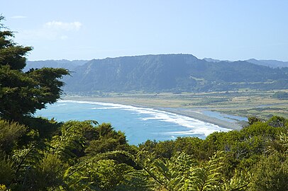
 East Cape on the right hand end of the Raukumara Range | |
 | |
| Location | Gisborne District, New Zealand |
| Coordinates | 37°41′21″S 178°32′54″E / 37.6892°S 178.5483°ECoordinates: 37°41′21″S 178°32′54″E / 37.6892°S 178.5483°E |
| Offshore water bodies | Pacific Ocean |
East Cape is the easternmost point of the main islands of New Zealand. It is located at the northern end of the Gisborne District of New Zealand's North Island.[1] It can also refer to the broader Gisborne cape.[2]
East Cape was originally named "Cape East" by British explorer James Cook during his 1769–1779 voyage. It is one of four Cardinal Capes, alongside North Cape, West Cape and South Cape.[3]
Maritime New Zealand operates the East Cape Lighthouse is located at the cape's easternmost point.[4] The small East Island / Whangaokeno, also known as Motu o Kaiawa, is located directly offshore.[5][6]
The New Zealand Transport Agency upgraded the Horoera Bridge in 2017,[7] giving campervans and other heavy vehicles full access to the East Cape Lighthouse.[8] It replaced a temporary Bailey bridge installed in 2015.[9]
It is not to be confused with the East Cape / Koromere on Stewart Island / Rakiura.[10]
East Cape Islands or Sun Rise Islands

View from East Cape looking towards East Island / Whangaokeno


References[]
| Wikivoyage has a travel guide for East Cape. |
- ^ Hariss, Gavin. "East Cape, Gisborne". topomap.co.nz. NZ Topo Map.
- ^ Soutar, Monty (30 March 2015). "Story: East Coast places". Te Ara - the Encyclopedia of New Zealand. Ministry for Culture and Heritage.
- ^ "Chart Of New Zealand – J Cook 1769–70". 1770.
- ^ East Cape Lighthouse Archived 14 May 2010 at the Wayback Machine, Maritime New Zealand. Retrieved 1 December 2009.
- ^ Also known as Motu o Kaiawa, see Kate MacIntyre, Te Whanau a Apanui and the East Coast Inquiry District, Waitangi Tribunal Scoping Report, Wai 900 #A9, p. 37.
- ^ East Island / Whangaokeno, Rodent Invasion Project, Department of Statistics, University of Auckland. Retrieved 1 December 2009.
- ^ "Dropout delays bridge rebuild". Gisborne Herald. 24 July 2017.
- ^ "Bridging the gap to East Cape Lighthouse". Gisborne Herald. 17 August 2017.
- ^ Ashton, Andrew (3 December 2015). "East Coast Lighthouse opens up for freedom campers". Gisborne Herald.
- ^ "Ngāi Tahu Claims Settlement Act 1998 No 97 (As at 30 January 2021), Public Act Schedule 96 Alteration of place names – New Zealand Legislation".
This Gisborne District-related geography article is a stub. You can help Wikipedia by . |
- Headlands of the Gisborne District
- Gisborne District geography stubs