Wetheron, Queensland
| Wetheron Queensland | |||||||||||||||
|---|---|---|---|---|---|---|---|---|---|---|---|---|---|---|---|
 Wetheron | |||||||||||||||
| Coordinates | 25°32′45″S 151°43′07″E / 25.5458°S 151.7186°ECoordinates: 25°32′45″S 151°43′07″E / 25.5458°S 151.7186°E | ||||||||||||||
| Population | 46 (2016 census)[1] | ||||||||||||||
| • Density | 0.366/km2 (0.947/sq mi) | ||||||||||||||
| Postcode(s) | 4625 | ||||||||||||||
| Area | 125.8 km2 (48.6 sq mi) | ||||||||||||||
| Time zone | AEST (UTC+10:00) | ||||||||||||||
| LGA(s) | North Burnett Region | ||||||||||||||
| State electorate(s) | Callide | ||||||||||||||
| Federal division(s) | Flynn | ||||||||||||||
| |||||||||||||||

Wetheron is a rural town and locality in the North Burnett Region, Queensland, Australia.[2][3] In the 2016 census, Wetheron had a population of 46 people.[1]
Geography[]
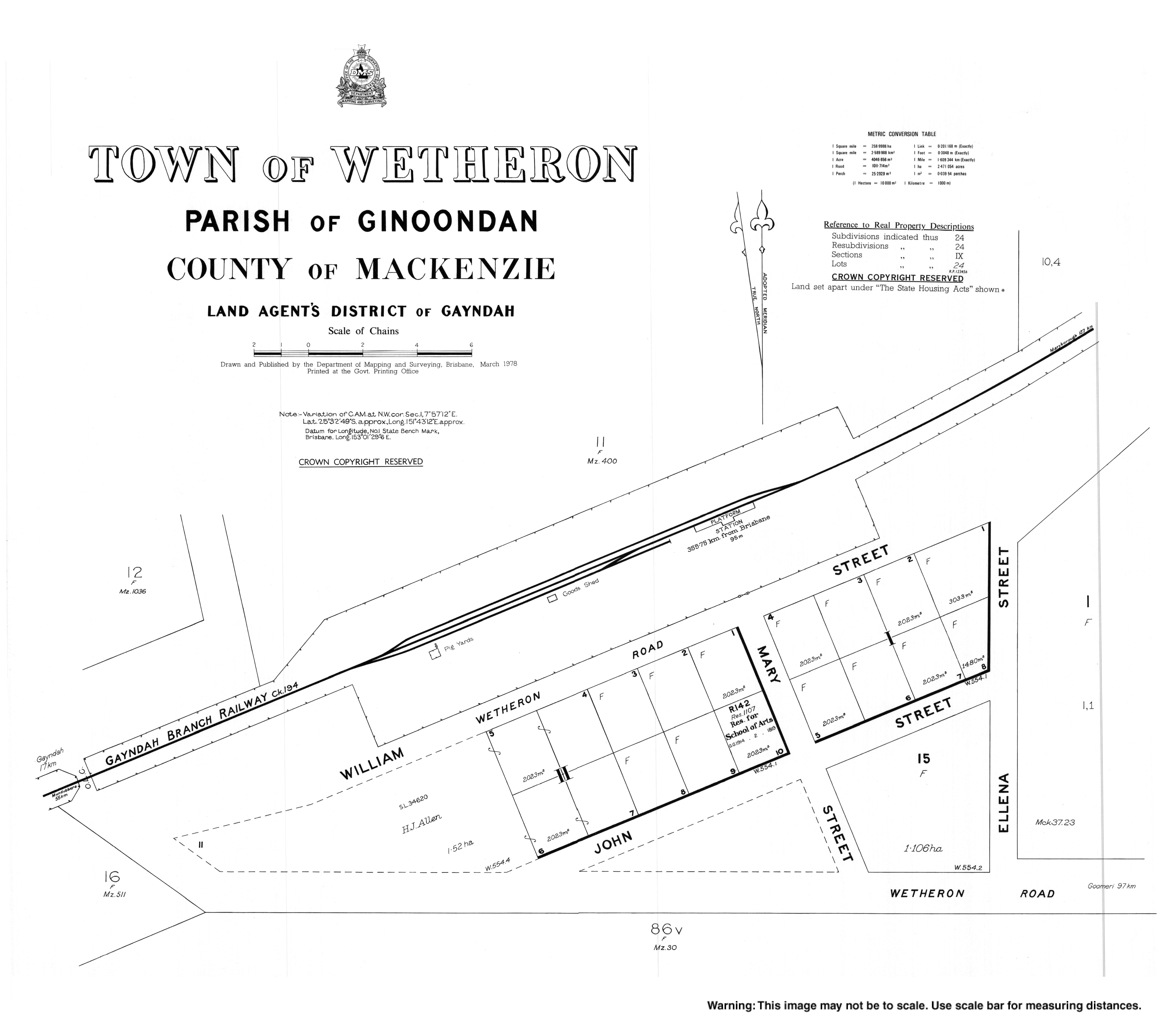
The Mungar Junction to Monto Branch Railway passes through Wetheron.[4] The town was served by the Wetheron railway station (25°32′40″S 151°43′04″E / 25.54444°S 151.71778°E)[5]
History[]
Wetheron State School opened on 24 January 1916. It closed on 31 December 1963.[6]
In November 1925, the Anglican Archdiocese of Brisbane provided a loan of £150 to establish a church in Wetheron.[7] Mrs Helen Gray donated a quarter-acre of land and a parish hall was erected by George James Bellert. The hall was officially opened on 5 May 1926.[8] St John's Anglican Church was dedicated on 11 December 1927 by Venerable William Powning Glover, Archdeacon of Toowoomba.[9] It is now closed.[10]
Sefton Provisional School opened on 1925 and closed on 1926.[11]
In the 2016 census, Wetheron had a population of 46 people.[1]
Education[]
There are no schools in Wetheron. The nearest primary schools are Gayndah State School in neighbouring Gayndah to the south-west and Coalstoun Lakes State School in Coalstoun Lakes to the south-east. The nearest secondary school is Burnett State College in Gayndah.[12]
References[]
- ^ a b c Australian Bureau of Statistics (27 June 2017). "Wetheron (SSC)". 2016 Census QuickStats. Retrieved 20 October 2018.

- ^ "Wetheron – town in North Burnett Region (entry 37158)". Queensland Place Names. Queensland Government. Retrieved 16 May 2020.
- ^ "Wetheron – locality in North Burnett Region (entry 45424)". Queensland Place Names. Queensland Government. Retrieved 16 May 2020.
- ^ "Queensland Globe". State of Queensland. Retrieved 19 August 2016.
- ^ "Wetheron railway station (entry 37160)". Queensland Place Names. Queensland Government. Retrieved 20 August 2016.
- ^ "Opening and closing dates of Queensland Schools". Queensland Government. Retrieved 19 August 2016.
- ^ "THE CHURCHES". Daily Standard. No. 4009. Queensland, Australia. 14 November 1925. p. 2. Retrieved 1 July 2020 – via National Library of Australia.
- ^ "WETHERON FUNCTION". Maryborough Chronicle, Wide Bay and Burnett Advertiser. No. 17, 613. Queensland, Australia. 11 June 1926. p. 2. Retrieved 1 July 2020 – via National Library of Australia.
- ^ "NEWS OF THE CHURCHES". The Telegraph. No. 17, 173. Queensland, Australia. 17 December 1927. p. 4. Retrieved 1 July 2020 – via National Library of Australia.
- ^ Anglican Church of Southern Queensland. "Closed Churches". Archived from the original on 3 April 2019. Retrieved 3 April 2019.
- ^ Queensland Family History Society (2010), Queensland schools past and present (Version 1.01 ed.), Queensland Family History Society, ISBN 978-1-921171-26-0
- ^ "Queensland Globe". State of Queensland. Retrieved 1 July 2020.
External links[]
- "Town map of Wetheron". Queensland Government. 1978. Archived from the original on 1 July 2020.
- Towns in Queensland
- North Burnett Region
- Localities in Queensland