
Wyuna, Victoria
| Wyuna Victoria | |
|---|---|
 The "Big Cherry" at Wyuna | |
 Wyuna | |
| Coordinates | 36°11′51″S 145°3′39″E / 36.19750°S 145.06083°E |
| Population | 262 (2016 census)[1] |
| Postcode(s) | 3561 |
| Location |
|
| LGA(s) | |
| State electorate(s) | Murray Plains |
| Federal division(s) | Nicholls |
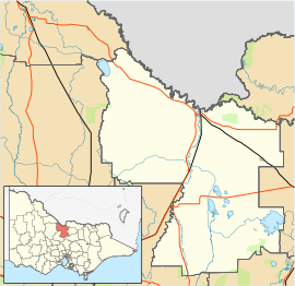
Wyuna is a locality in the Goulburn Valley region of Victoria, Australia. The locality is in the Shire of Campaspe, 215 kilometres (134 mi) north of the state capital, Melbourne.
At the 2016 census, Wyuna and the surrounding area had a population of 262.[1]
References[]
- ^ a b Australian Bureau of Statistics (31 October 2012). "Wyuna (State Suburb)". 2011 Census QuickStats. Retrieved 4 February 2017.

External links[]
![]() Media related to Wyuna, Victoria at Wikimedia Commons
Media related to Wyuna, Victoria at Wikimedia Commons
This article about a location in Hume (region) is a stub. You can help Wikipedia by . |
Categories:
- Towns in Victoria (Australia)
- Towns in Goulburn Valley
- City of Greater Shepparton
- Hume (region) geography stubs