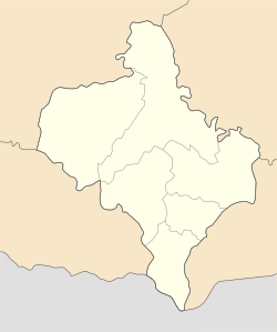
Yaremche urban hromada
Yaremche urban hromada
Яремчанська міська громада | |
|---|---|
 Yaremche urban hromada | |
| Coordinates: 48°27′37″N 24°33′31″E / 48.46028°N 24.55861°ECoordinates: 48°27′37″N 24°33′31″E / 48.46028°N 24.55861°E | |
| Country | |
| Oblast (province) | |
| Raion (district) | Nadvirna Raion |
| Government | |
| • Mayor | Andrii Myroniak |
| Area | |
| • Total | 270.8 km2 (104.6 sq mi) |
| Population (2021) | |
| • Total | 13,674 |
| Time zone | UTC+02:00 (EET) |
| • Summer (DST) | UTC+03:00 (EEST) |
| Area code | +380-3434 |
| Website | yaremcha-miskrada |
Yaremche urban territorial hromada (Ukrainian: Яремчанська міська територіа́льна грома́да, romanized: Yaremchanska miska terytorialna hromada) is a hromada (municipality) in Ukraine, in Nadvirna Raion of Ivano-Frankivsk Oblast. The administrative center is the city of Yaremche.[1]
The area of the hromada is 270.8 square kilometres (104.6 sq mi), and the population is 13,674 inhabitants (2021).[2]
Settlements[]
The municipality consists of 1 city: Yaremche and 1 village: Mykulychyn.[2]
Geography[]
The Yaremche municipality is located on the northeastern slopes of the Carpathian Mountains. It possesses numerous ski resorts such as Bukovel, there are also several of them near Vorokhta as well.
The main body of water is Prut river.
References[]
- ^ "Яремчанська громада" (in Ukrainian). official website of Yaremche hromada.
- ^ a b "Яремчанська територіальна громада". decentralization.gov.ua (in Ukrainian). Retrieved 2021-11-26.
{{cite web}}: CS1 maint: url-status (link)
External links[]
Categories:
- Ivano-Frankivsk Oblast geography stubs
- Nadvirna Raion
- Hromadas of Ivano-Frankivsk Oblast
- 2020 establishments in Ukraine

