Ynys Bery
 Ynys Bery from Ramsey Island | |
 Ynys Bery | |
| Geography | |
|---|---|
| Coordinates | 51°50′56.72″N 5°20′27.02″W / 51.8490889°N 5.3408389°W |
| Administration | |
Wales | |
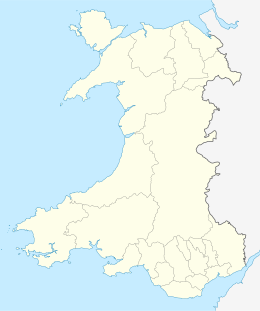
| County | Pembrokeshire |
| St David's and the Cathedral Close | community |
| Demographics | |
| Population | 0 |

Ynys Bery is a small island south of Ramsey Island, Pembrokeshire, Wales, in the community of St David's and the Cathedral Close.
Etymology[]
The island's name in Welsh means falcon's Island, according to an 1852 book,[1] but an earlier work of 1811 by Richard Fenton calls it the kite's island.[2]
History[]
Fenton, in 1811, describes the island, and its neighbour Ynys y Cantwr:
...with high craggy cliffs, producing a thick matted herbage mixed with scurvy-grass and the sea pink, affording pasture for a few sheep, and stocked with rabbits, puffins, elygogs,[note 1] gulls and other sea fowl.[2]
In 1903, the S.S. Graffoe (a 2,996-ton steamship bound from Glasgow to Montevideo with 3,800 tons of coal) struck Ramsey Island and sank at the northern end of Ynys Bery. The wreck lies at a depth of 15 metres, and is one of many Pembrokeshire wrecks popular with divers.[4]
Geography[]
Ynys Bery's highest point is 71 metres[5] (233 feet), the highest of Wales's islets.
Flora and fauna[]
Together with neighbouring Ynys Cantwr, Ynys Bery is a breeding ground for lesser black-backed gulls. In the spring the island is covered with pale blue squill.[6]
Notes[]
References[]
- ^ Will. Basil Jones (1852). The History and Antiquities of Saint David's: By Will. Basil Jones and Edw. A. Freeman. Vol. 1. Pickering, Parker and Petheram. p. 17.
- ^ a b Fenton, Richard (1811). A historical tour through Pembrokeshire. Longman, Hurst, Rees, Orme & co. p. 125. Retrieved 7 February 2019.
- ^ Driver, T. (2018). "The Green Bridge (of Wales) and Elegug Stacks, Stack Rocks (407869)". Coflein. RCAHMW. Retrieved 27 February 2020.
- ^ "Wreck of the Graffoe". Cardiff Times. 14 March 1903. Retrieved 11 August 2019.
- ^ Ynys Bery on www.hill-bagging.co.uk
- ^ "Ramsay Island". Pembrokeshire Coast National Park. Retrieved 11 August 2019.
External links[]
- grid reference SM700220
 Media related to Ynys Bery at Wikimedia Commons
Coordinates: 51°50′57″N 5°20′27″W / 51.84909°N 5.34084°W

- Islands of Pembrokeshire
- Uninhabited islands of Wales