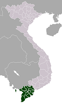
Đức Huệ District
Đức Huệ District
Huyện Đức Huệ | |
|---|---|
| Country | |
| Region | Mekong Delta |
| Province | Long An |
| Capital | Đông Thành |
| Area | |
| • Total | 165 sq mi (428 km2) |
| Population (2018) | |
| • Total | 79,079 |
| Time zone | UTC+07:00 (Indochina Time) |
Đức Huệ is a rural district of Long An Province in the Mekong Delta region of Vietnam. It has a western border with Cambodia; a southwest border with Thạnh Hóa District; an eastern border with Đức Hòa District; and a south and southeast border with Thủ Thừa District and Bến Lức District. As of 2003 the district had a population of 61,620.[1] The district covers an area of 428 km². The district capital lies at Đông Thành.[1]
Đức Huệ District was established under Decree No. 48-NV of the Republic of Vietnam on March 3, 1959.
Divisions[]
The district is divided into 10 communes:
Mỹ Thạnh Đông, Mỹ Quý Đông, Mỹ Quý Tây, Mỹ Thạnh Tây, Bình Thành, Mỹ Thạnh Bắc, Bình Hoà Bắc, Bình Hoà Nam, Bình Hoà Hưng and Mỹ Bình.
References[]
- ^ a b "Districts of Vietnam". Statoids. Retrieved March 13, 2009.
Coordinates: 10°54′N 106°12′E / 10.900°N 106.200°E
- Districts of Long An province
- Mekong River Delta geography stubs

