Adams Glacier (Wilkes Land)
| Adams Glacier (Wilkes Land) | |
|---|---|
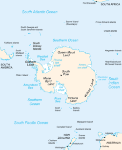 Map of Antarctica, with Wilkes Land slightly to the right | |
 Location of Adams Glacier (Wilkes Land) in Antarctica | |
| Location | Wilkes Land |
| Coordinates |  66°50′S 109°40′E / 66.833°S 109.667°E / -66.833; 109.667 66°50′S 109°40′E / 66.833°S 109.667°E / -66.833; 109.667 |
| Length | 20 nmi (37 km; 23 mi) |
| Terminus | Vincennes Bay |
Adams Glacier ( WikiMiniAtlas66°50′S 109°40′E / 66.833°S 109.667°E / -66.833; 109.667), also known as John Quincy Adams Glacier, is a broad channel glacier in Wilkes Land, Antarctica which is over 20 miles (32 km) long. It debouches into the head of Vincennes Bay, just east of Hatch Islands. It was first mapped in 1955 by from aerial photographs taken by U.S. Navy Operation Highjump (1947), and it was named by the Advisory Committee on Antarctic Names (US-ACAN) for John Quincy Adams, sixth President of the United States. Adams was instrumental while later serving as U.S. representative from Massachusetts in gaining congressional authorization of the United States Exploring Expedition (1838–42) under Lieutenant Charles Wilkes, and perpetuating the compilation and publication of the large number of scientific reports based on the work of this expedition.
See also[]
- List of glaciers in the Antarctic
- Glaciology
![]() This article incorporates public domain material from the United States Geological Survey document: "Adams Glacier". (content from the Geographic Names Information System)
This article incorporates public domain material from the United States Geological Survey document: "Adams Glacier". (content from the Geographic Names Information System)
Glaciers | |||||||
|---|---|---|---|---|---|---|---|
| Types |
| ||||||
| Anatomy |
| ||||||
| Processes |
| ||||||
| Measurements |
| ||||||
| Volcanic relations | |||||||
| Landforms |
| ||||||
| |||||||
Glaciers in the Antarctic | |
|---|---|
|
Glaciers of Wilkes Land | |
|---|---|
|
This article about a glacier in Wilkes Land is a stub. You can help Wikipedia by . |
- v
- t
- Glaciers of Wilkes Land
- Wilkes Land geography stubs
- Antarctica glacier stubs
- Articles with short description
- Short description is different from Wikidata
- Coordinates on Wikidata
- Wikipedia articles incorporating text from the USGS Geographic Names Information System
- All stub articles