Badbergen
Badbergen | |
|---|---|
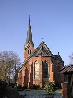 Saint Mary's Church | |
 Coat of arms | |
show Location of Badbergen within Osnabrück district | |
 Badbergen | |
| Coordinates: 52°38′06″N 07°58′56″E / 52.63500°N 7.98222°ECoordinates: 52°38′06″N 07°58′56″E / 52.63500°N 7.98222°E | |
| Country | Germany |
| State | Lower Saxony |
| District | Osnabrück |
| Municipal assoc. | Artland |
| Subdivisions | 9 |
| Government | |
| • Mayor | Tobias Dörfler (CDU) |
| Area | |
| • Total | 79.11 km2 (30.54 sq mi) |
| Elevation | 29 m (95 ft) |
| Population (2020-12-31)[1] | |
| • Total | 4,533 |
| • Density | 57/km2 (150/sq mi) |
| Time zone | UTC+01:00 (CET) |
| • Summer (DST) | UTC+02:00 (CEST) |
| Postal codes | 49635 |
| Dialling codes | 05433 |
| Vehicle registration | OS |
| Website | www.badbergen.de |


Badbergen is a municipality in the district of Osnabrück, in Lower Saxony, Germany. It lies on the River Hase.
Subdivision[]
The municipality consists of the following villages: Badbergen, Grönloh, Groß Mimmelage, Grothe, Langen, Lechterke, Vehs, Wehdel, Wohld and Wulften.[2]
References[]
| show Towns and municipalities in Osnabrück (district) |
|---|
| Authority control |
|---|
This Osnabrück district location article is a stub. You can help Wikipedia by . |
Categories:
- Municipalities in Lower Saxony
- Osnabrück (district)
- Weser-Ems region geography stubs