Belém (São Paulo Metro)
Belém | |||||||||||
|---|---|---|---|---|---|---|---|---|---|---|---|
 | |||||||||||
| Coordinates | 23°32′36″S 46°35′22″W / 23.543216°S 46.58952°WCoordinates: 23°32′36″S 46°35′22″W / 23.543216°S 46.58952°W | ||||||||||
| Owned by | |||||||||||
| Operated by | |||||||||||
| Platforms | Island platform | ||||||||||
| Connections | |||||||||||
| Construction | |||||||||||
| Structure type | At-grade | ||||||||||
| Disabled access | Yes | ||||||||||
| Other information | |||||||||||
| Station code | BEL | ||||||||||
| History | |||||||||||
| Opened | September 5, 1981 | ||||||||||
| Passengers | |||||||||||
| 24,000/business day[1] | |||||||||||
| Services | |||||||||||
| |||||||||||

Track layout | |||||||||||||||||||||||||||||||||||||||||||||||||||||||||||||||
|---|---|---|---|---|---|---|---|---|---|---|---|---|---|---|---|---|---|---|---|---|---|---|---|---|---|---|---|---|---|---|---|---|---|---|---|---|---|---|---|---|---|---|---|---|---|---|---|---|---|---|---|---|---|---|---|---|---|---|---|---|---|---|---|
| |||||||||||||||||||||||||||||||||||||||||||||||||||||||||||||||
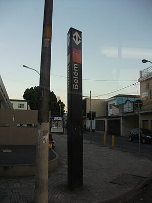
Belém is a station on Line 3 (Red) of the São Paulo Metro.[2]
SPTrans Lines[]
The following SPTrans bus lines can be accessed. Passengers may use a Bilhete Único card for transfer:
| Line | Destination |
|---|---|
| 172N/10 | Shopping Center Norte |
| 172N/21 | Uninove |
| 172P/10 | Vila Zilda |
| 172N/22 | Catumbi |
| 172R/10 | Jaçanã |
| 172Y/10 | Vila Constança |
| 271F/10 | Shopping Center Norte |
| 3053/10 | Jardim Itapolis |
| 3112/10 | Vila Industrial |
| 407F/10 | Term. São Mateus |
| 407R/10 | Term. V. Carrão |
| 3746/10 | Jardim Imperador |
| N407/11 | Term. V. Carrão |
| 4729/10 | Parque Bancario |
| 574R/10 | Sapopemba/Teotônio Vilela Terminal |
| 574W/10 | Jardim Walkiria |
| 702C/10 | Jardim Bonfiglioli |
References[]
- ^ "Entrada de Passageiros por Estação - Média Dias Úteis - Maio/2021" (PDF) (in Portuguese). 2021-06-18. Retrieved 2021-07-07.
- ^ "Belém". São Paulo Metro (in Portuguese). Archived from the original on 17 April 2008.
This article related to the São Paulo Metro is a stub. You can help Wikipedia by . |
Categories:
- São Paulo Metro stations
- Railway stations opened in 1981
- 1981 establishments in Brazil
- São Paulo Metro stubs