Bentinck Island, Queensland
 Bentinck Island | |
| Geography | |
|---|---|
| Location | Queensland |
| Coordinates | 17°03′36″S 139°30′00″E / 17.06000°S 139.50000°ECoordinates: 17°03′36″S 139°30′00″E / 17.06000°S 139.50000°E |
| Adjacent bodies of water | Gulf of Carpentaria |
| Administration | |
| State | Queensland |
| Capital and largest city | Brisbane (pop. 2,462,637) |
| Demographics | |
| Population | 0 (2016)[1] |

Bentinck Island is one of the South Wellesley Islands, in Queensland's Gulf of Carpentaria.
In 1918, the island was the site of the McKenzie massacre, in which many indigenous inhabitants, including women and children, died.[2][3]
History[]
The Kayardild language was spoken on the island.
Sometime around 1916, a man remembered only as McKenzie came to Bentinck Island and set up a sheep run, basing himself on a site at the mouth of the Kurumnbali estuary. He would ride over the island, accompanied by a pack of dogs, and shoot any Kaiadilt man who came within sight; in local memory, he murdered at least 11 people. He also kidnapped and raped native girls. He then moved to Sweers Island, and set up a lime kiln there. The Kaiadilt managed to return to Sweers only on McKenzie's departure. The massacre was only recorded by researchers in the 1980s.[3]
Gallery[]

Southern part of Bentinck Island and Albinia Island

Bentinck Island with the Australian continent in the background

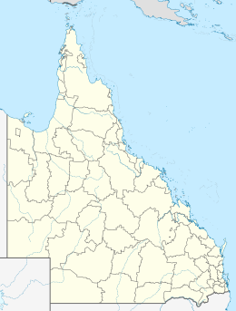
Location of Bentinck Island


See also[]
References[]
- ^ Australian Bureau of Statistics (27 June 2017). "South Wellesley Islands (SSC)". 2016 Census QuickStats. Retrieved 20 October 2018.

- ^ Bruce Elder (1998). Blood on the Wattle: Massacres and maltreatment of Aboriginal Australians since 1788. Page 203 - 206: New Holland Publishers. ISBN 1-86436-410-6.
{{cite book}}: CS1 maint: location (link) - ^ a b Kelly, Roma; Evans, Nicholas (1985). "The McKenzie massacre on Bentinck Island" (PDF). Aboriginal History. 9 (1). Archived (PDF) from the original on 11 February 2020. Retrieved 13 April 2020.
- Islands of Queensland
- Gulf of Carpentaria