Brignall
| Brignall | |
|---|---|
 St Mary's Church, Brignall | |
 Brignall Location within County Durham | |
| OS grid reference | NZ066122 |
| Civil parish |
|
| Unitary authority | |
| Ceremonial county | |
| Region | |
| Country | England |
| Sovereign state | United Kingdom |
| Post town | Barnard Castle |
| Postcode district | DL12 |
| Police | Durham |
| Fire | County Durham and Darlington |
| Ambulance | North East |

Brignall village is located in an elevated position adjacent to the River Greta, about 2 km upstream from Greta Bridge. [1] The village is within the Teesdale district of south-west County Durham, England, the nearest town is the market town of Barnard Castle. The village is best known for the scenic valley section of the River Greta known as Brignall Banks, which is a Site of Special Scientific Interest.
Name[]
Name History[]
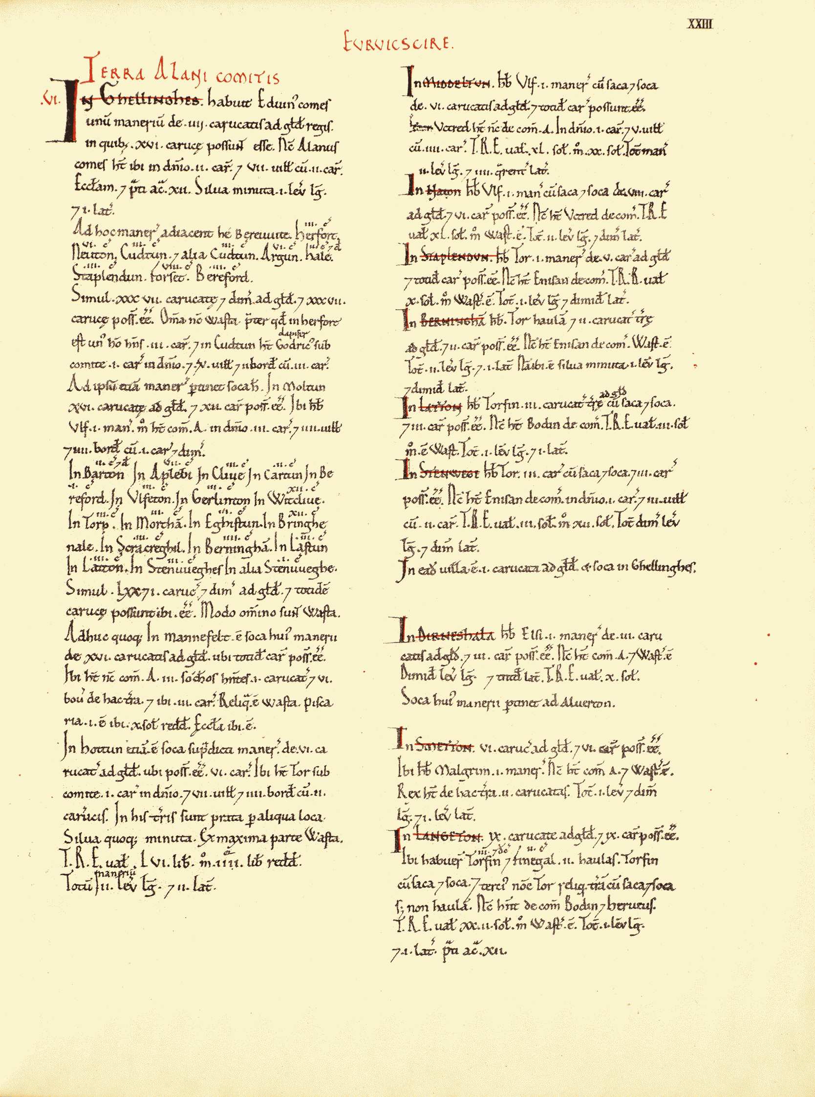
The village is recorded in the Domesday Book ( 1086 ) as Bringhenale . [2] [a]
The name and spelling changed and evolved over time : [3]
- xi century : Bringhenale , Bringhale
- xii–xiii century : Brigenhall , Brigenhale
Thomas de Briggenhale appeared in the Poll Tax rolls for the County of Yorkshire in 1379. [4]
The following English surnames might be derived from the place name : [4]
- Brignall
- Brignell
- Bricknall
- Bricknell
Toponym[]
Brignall stream flows slowly through the village and past the church before descending steeply down to join the River Greta below. Where the stream and river meet there is a corner of land with evidence of cultivation terraces and the ruins of the old St Mary's church. [5] [b]
Brignall : Bringhenale ( Domesday ), ” Brig..en..hale ” ( xii–xiii cent ), ” Brick..n..all ” ( surname ) :
- " Bridge .. by the .. corner of land left by the stream in a river valley "
- ” Bridge .. by the .. place which is open to the skies, rather than in woodland ”
- ” Bridge .. by the .. secret place ”
The first element " Brig / Brick " is from Old English ” brycg ” ( bridge ). [6]
The next element " en " is from Medieval English ” atten ” ( at the, by the ) [7]
The next element " hale " is from Old English ” healh, hale ” [8]
The Old English word ” healh ” ( also ” hale ” ) has several meanings : [8]
- corner
- nook
- secret place
- corner of land left by the stream in a river valley
Other meanings have also been suggested : [4]
- a place
- the bright place
- a place which is open to the skies, rather than in woodland
See Also[]
Examples of place names with a similar etymology might include :
- Brighouse, Yorkshire : bridge house
Governance[]
The population at the 2011 Census remained less than 100. Details are kept within the parish of Rokeby. It was historically located in the North Riding of Yorkshire but along with the rest of the former Startforth Rural District it was transferred to County Durham for administrative and ceremonial purposes on 1 April 1974, under the provisions of the Local Government Act 1972.
Art and Culture[]
The River Greta and the Brignall area were painted by John Sell Cotman[11] and J. M. W. Turner[12][13][14] amongst others. Bird watching, walking and other outdoor activities can be pursued in the area.
Notes[]
References[]
- ^ "MAGiC MaP : Brignall Village". Natural England - Magic in the Cloud Service.
- ^ *"Eurvikscire : Page XXIII". Open Domesday. Retrieved 1 March 2022.
- ^ Page, William, A History of the County of York North Riding, pp49-51
- ^ a b c *"Last Name : Brignall". Surname DB. Retrieved 1 March 2022.
- ^ "MAGiC MaP : Brignall stream joins River Greta". Natural England - Magic in the Cloud Service.
- ^ Clark Hall, John R., A Concise Anglo−Saxon Dictionary, Page 120
- ^ Reaney, P H, 1969, The Origin of English Place Names, Page 37
- ^ a b Clark Hall, John R., A Concise Anglo−Saxon Dictionary, Page 323
- ^ Reaney, P H, 1969, The Origin of English Place Names, Page 187
- ^ "The Brakenhale School". The Brakenhale School. Retrieved 1 March 2022.
- ^ Brignall Banks on the Greta - John Sell Cotman, Leeds Art Gallery. Retrieved 10 March 2008.
- ^ The Turner Gallery. A Series of One Hundred and Twenty Engravings Archived 2008-04-11 at the Wayback Machine, Antiquarian Maps and Prints. Retrieved 10 March 2008.
- ^ Brignall Church by J.M.W. Turner Archived 2006-02-15 at the Wayback Machine, Antiquarian Maps and Prints. Retrieved 10 March 2008.
- ^ Yorkshire, Brignall Church, after Turner, 1855, Steve Bartrick Antique Prints and Maps. Retrieved 10 March 2008.
Sources[]
Online[]
- Page, William. Parishes: Brignall, A History of the County of York North Riding: Volume 1. British History Online. Retrieved 1 March 2022.
- Clark Hall, John R. A Concise Anglo−Saxon Dictionary (PDF). The Germanic Lexicon Project. Retrieved 1 March 2022.
Books[]
- Reaney, P H (1969). The Origin of English Place Names. Routledge & Kegan Paul.
External links[]
![]() Media related to Brignall at Wikimedia Commons
Media related to Brignall at Wikimedia Commons
This County Durham location article is a stub. You can help Wikipedia by . |
- Villages in County Durham
- County Durham geography stubs