Calamian Islands
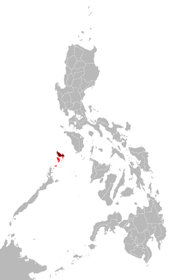 Map of the Philippines showing the location of the Calamianes (in red) and Busuanga Island (in maroon) | |
 Calamianes Location within Palawan | |
| Geography | |
|---|---|
| Coordinates | 11°54′N 120°14′E / 11.900°N 120.233°ECoordinates: 11°54′N 120°14′E / 11.900°N 120.233°E |
| Adjacent bodies of water | |
| Major islands |
|
| Administration | |
| Region | Mimaropa |
| Province | Palawan |

The Calamian Islands or the Calamianes is a group of islands in the province of Palawan, Philippines. It includes:
- Busuanga Island
- Coron Island
- Culion Island
- Calauit Island
- Malcapuya Island
- Banana Island
- Pass Island
- Calumbuyan Island
- several minor islets
History[]
Historically, the Calamianes was site of the Spanish politico-militar Provincia de Calamianes. It became the site of a Presidio or a Spanish military garrison, and the small group of islands received, almost 100 Spanish and Mexican soldier-colonists in the 1670s.[1] The Spanish Empire later purchased mainland Paragua from the Sultan of Borneo. During the American occupation (1898-1948), the old Provincia de Calamianes was dissolved and jointly administered with the Island of Paragua as the new Province of Palawan.
During the American occupation and up until recently, Culion Island was host to a leper colony. Busuanga Island hosts the largest town, Coron, in the Calamian Islands. Coron Island is known for having the cleanest inland body of water in the Philippines, called . Calauit Island is known for hosting a number of endangered African animal species. Diving spots, with coral reefs and sunken World War II Japanese shipwrecks, also lies within the waters of these islands.
References[]
- ^ Convicts or Conquistadores? Spanish Soldiers in the Seventeenth-Century Pacific By Stephanie J. Mawson AGI, México, leg. 25, núm. 62; AGI, Filipinas, leg. 8, ramo 3, núm. 50; leg. 10, ramo 1, núm. 6; leg. 22, ramo 1, núm. 1, fos. 408 r –428 v ; núm. 21; leg. 32, núm. 30; leg. 285, núm. 1, fos. 30 r –41 v .
External links[]
 Calamian Islands travel guide from Wikivoyage
 Geographic data related to Calamian Islands at OpenStreetMap
This article about a location in Mimaropa region is a stub. You can help Wikipedia by . |
- Calamian Islands
- Archipelagoes of the Philippines
- Archipelagoes of the Pacific Ocean
- Archipelagoes of Southeast Asia
- Maritime Southeast Asia
- Philippines geography stubs